


DJI Enterprise
DJI Matrice 4E
Enterprise pricing, payment terms and bulk orders. Talk to a drone specialist.
Why the Matrice 4E Leads Enterprise Mapping in 2026
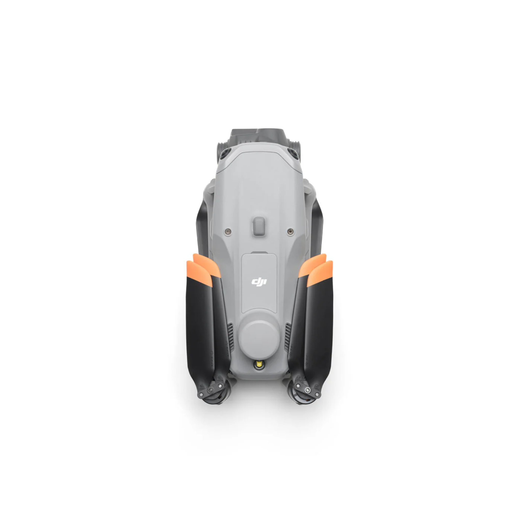
The DJI Matrice 4E is a compact enterprise drone built for one job: turning flight time into survey-grade data. Designed for surveyors, construction teams, mining operations, and GIS departments, it folds into a carry case, deploys in minutes, and brings capability that once required heavy, five-figure survey platforms down to a $5,189 price point. If your work depends on accurate maps, models, or measurements, this is the aircraft everything else gets compared against.
Most mapping drones force a trade-off: either a fast wide-angle camera for 2D orthomosaics, or a longer tele for vertical facades and oblique 3D capture. The M4E eliminates that trade-off. A 20MP mechanical-shutter wide-angle, a 48MP medium tele, and a 48MP long tele work together in a single flight, capturing rooftops, walls, and ground simultaneously. The result: 50% fewer flights to close the same project compared to single-camera platforms.
The onboard RTK module delivers centimeter-level positioning without ground control points on supported workflows, cutting field setup time dramatically. And at 42 minutes of flight time, the M4E completes larger sites on fewer batteries than any comparable enterprise mapping drone.
Full Specifications
| Spec | DJI Matrice 4E |
|---|---|
| Price | $5,189 |
| Flight Time | 42 minutes |
| Wide Camera | 20MP 4/3" CMOS · Mechanical shutter · f/2.8–f/11 · 25mm equiv |
| Tele Camera 1 | 48MP · 70mm equiv · f/2.8 |
| Tele Camera 2 | 48MP · 168mm equiv · f/3.4 |
| Laser Rangefinder | Up to 1,800m |
| RTK | Built-in · Centimeter-level accuracy |
| Interval Shooting | 0.5 seconds (min) |
| Max Mapping Speed | 21 m/s |
| Obstacle Avoidance | Omnidirectional |
| Max Wind Resistance | Level 6 (12 m/s) |
| Transmission | O4 Enterprise · 20km range |
| IP Rating | IP54 |
| Max Takeoff Altitude | 6,000m ASL |
| Compatible Software | DJI Terra · DJI Pilot 2 · DJI FlightHub 2 |
M4E vs Matrice 30T vs Matrice 400 RTK
| Feature | M4E ($5,189) | Matrice 30T ($12,602) | Matrice 400 RTK ($10,450) |
|---|---|---|---|
| Flight Time | 42 min | 41 min | 59 min |
| Built-in RTK | ✅ Yes | ❌ No | ✅ Yes |
| Thermal Sensor | ❌ No | ✅ 640×512 | Payload option |
| Mech Shutter | ✅ Yes | ✅ Yes | Payload-dependent |
| Best For | Mapping & surveying | Inspection + thermal | Payload flexibility |
Top Use Cases
Topographic Surveying & Photogrammetry
The M4E's 0.5-second interval shooting at 21 m/s captures ground at under 3cm GSD from 120m altitude. Combined with built-in RTK, operators routinely achieve absolute accuracy under 5cm without a single GCP.
Construction & BIM Progress Tracking
Weekly as-built captures feed directly into Autodesk Construction Cloud and Bentley Systems via DJI Terra exports. The mechanical shutter eliminates rolling-shutter distortion on structures.
Mining & Aggregate Volume Calculations
The triple-camera system shoots nadir, forward, and backward simultaneously in DJI Terra's oblique mode, eliminating the separate oblique flight pass that single-camera drones require.
Corridor Mapping (Power Lines, Roads, Pipelines)
At 21 m/s with 20km O4 range, the M4E can map a 10km transmission corridor in a single sortie. The 1,800m laser rangefinder enables real-time distance-to-obstacle alerts during corridor flying.
Frequently Asked Questions
Does the M4E include RTK out of the box?
Yes. Unlike the Matrice 30T, the Matrice 4E ships with RTK built into the body. You need D-RTK 2 base station access or network RTK to activate corrections.
Does the M4E have a thermal camera?
No. If you need thermal alongside mapping capability, look at the DJI Matrice 4T ($7,849) or the Matrice 30T.
What mapping software works with the M4E?
DJI Terra, DJI Pilot 2, DJI FlightHub 2. Third-party: DroneDeploy, Pix4D, and Propeller Aero all support M4E image imports.
Popular Use Cases
See how operators put the Matrice 4E to work, with the recommended setup for each mission:
- DJI Matrice 4 for Construction & Survey
- DJI Matrice 4 for Utilities & Energy Inspection
- DJI Matrice 4 Series: Complete Guide
For keeping batteries charged between flights on remote sites, see our DJI field charging guide.
Related Resources
- CZI & JZ Drone Payloads Hub Guide
- DJI Matrice 4T Thermal Drone
- DJI Matrice 30T Inspection Drone
- DJI Matrice 400 RTK
- DJI Matrice 400 RTK Payloads Guide
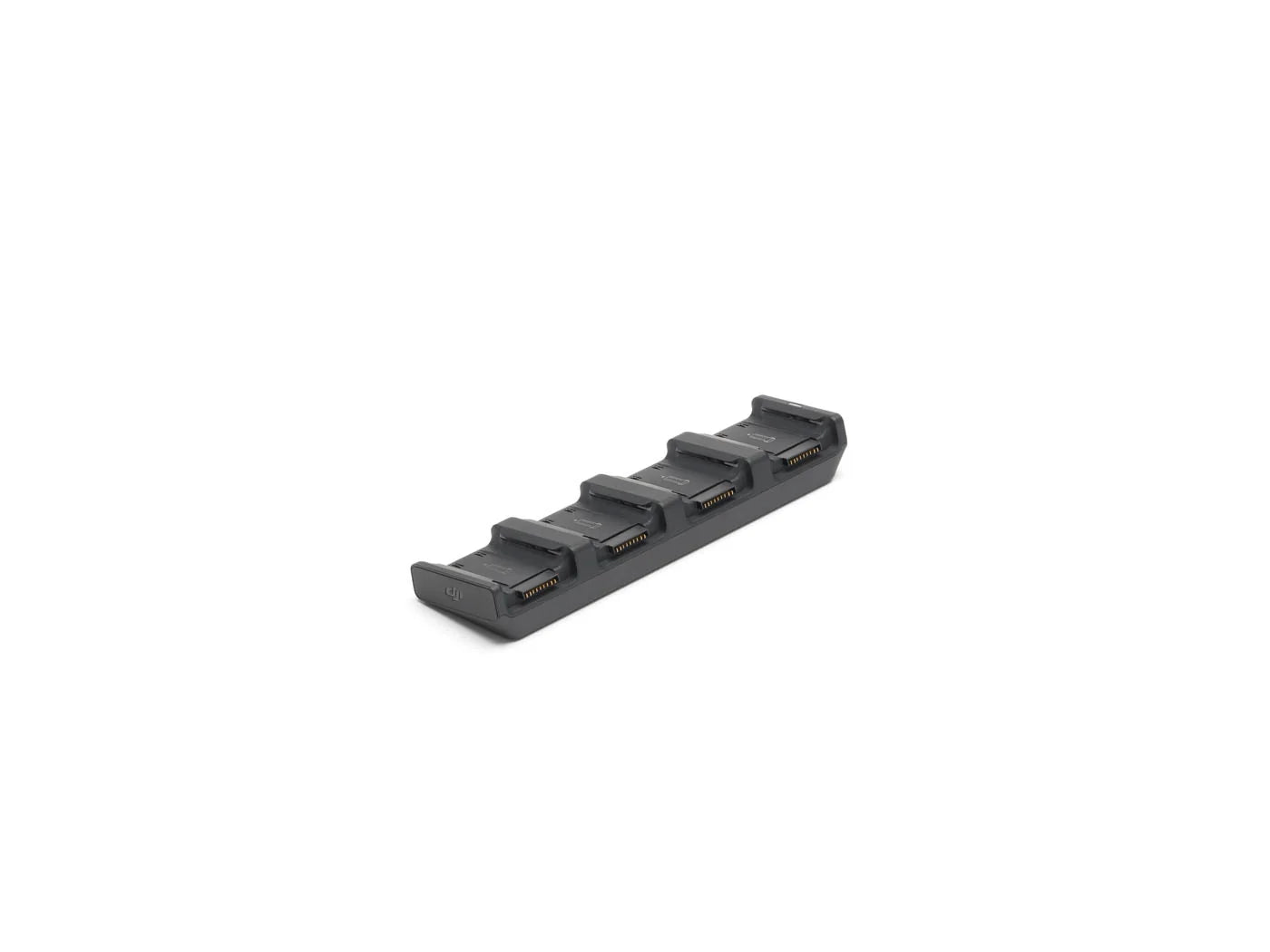
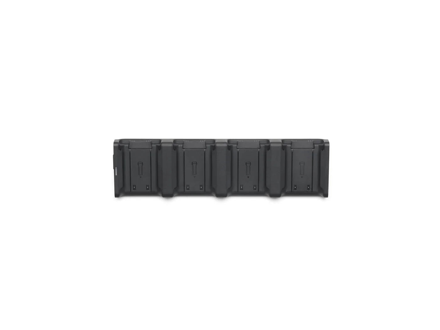
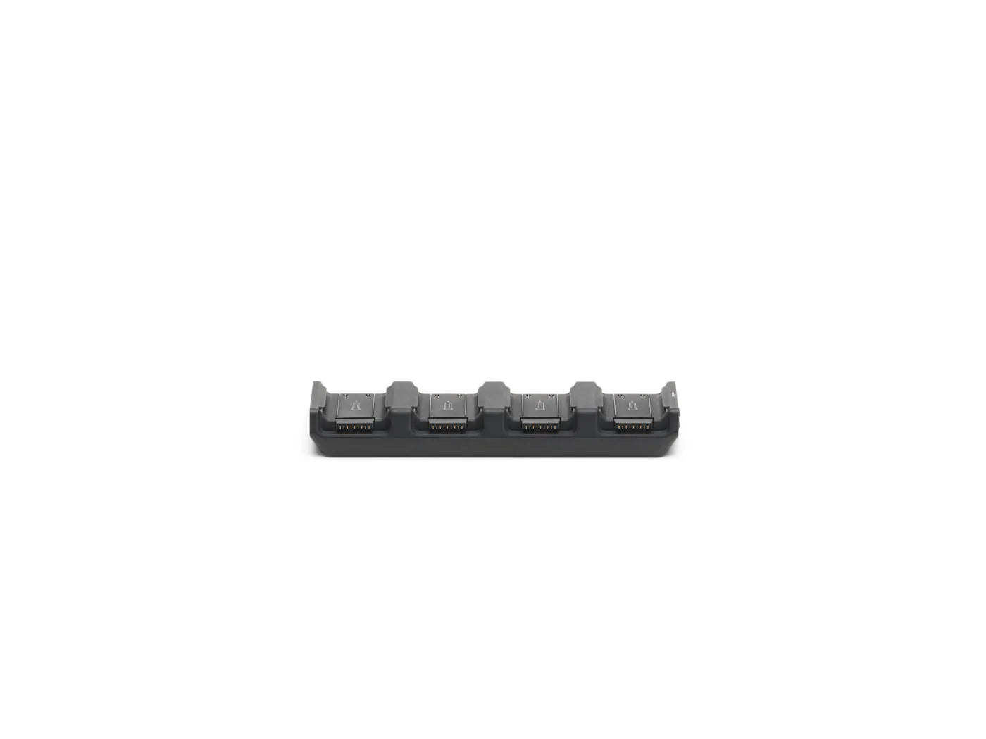
Field charging: keep a Matrice 4E fleet flying through long shifts with the Colorado Drone Chargers Matrice 4T/4E PRCS, a 4-bay rapid charger that runs off a truck inverter or generator. See our Matrice 4T battery charging guide.
Ships from the USA
Recommended Accessories
Ships from the United States. Contact us for current lead time.
Covered by DJI's manufacturer warranty. View warranty details

Max flight time

Centimeter accuracy

Dual tele cameras

Laser rangefinder

O4 transmission range
If you have any questions, you are always welcome to contact us. We'll get back to you as soon as possible, within 24 hours on weekdays.
-
Shipping Information
We ship from the United States. Many enterprise items are drop-shipped from the manufacturer or distributor, so contact us for the current lead time on your configuration before you order.
-
Customer Support
You deal directly with Global Drone HQ, not a call center queue. Send over your configuration, compliance, or integration questions and you will get a straight answer.
-
FAQ’s
Have a question this page does not cover? Ask us. That includes anything you need for a purchase order, bid package, or internal approval.
-
Contact Us
Email daniel@globaldronehq.com for quotes and product questions. We accept purchase orders, ACH, and wire transfer for agencies and businesses. Payment is required up front.

The Age of Intelligent Flight
Flagship Intelligent Multi-Sensor Compact Drone
Intelligent Operations
Capture Every Detail at A Distance
M4E vs M4T vs Matrice 30T
| Feature | Matrice 4E | Matrice 4T | Matrice 30T |
|---|---|---|---|
| Price | $5,189 | $7,849 | $12,602 |
| Flight Time | ~45 min | ~45 min | ~41 min |
| Thermal | None | 640×512 radiometric | 640×512 radiometric |
| Mechanical Shutter | Yes, 20MP 4/3″ | No | No |
| Built-in RTK | Yes | Yes | Module required |
| Best For | Mapping & surveying | Thermal inspection & public safety | Heavy-duty inspection |
Prices last verified August 2026. Contact us for a current quote.
See More. Do More. Respond Faster.
Whether you're flying topographic surveys, tracking construction progress, or mapping utility corridors, the Matrice 4E captures more accurate data in fewer flights than any drone in its class.


Intelligent Operations, Built In
The Matrice 4E features onboard intelligent detection for vehicles, vessels, and human subjects, helping teams improve situational awareness during search and rescue missions or routine flights. With support for expanded detection models, high-resolution grid photos, and advanced tracking, it is built for faster, smarter field operations.

Crystal Clear Vision, Built for the Field
Capture critical details from a distance with the Matrice 4E’s advanced telephoto system. High-resolution imaging, enhanced stabilization, and electronic dehazing ensure clear, reliable visuals, even in low visibility conditions, making it ideal for inspections, public safety, and mission-critical operations.

Precision Mapping, Built for Efficiency
Capture more data in less time with the Matrice 4E’s advanced mapping capabilities. Featuring rapid 0.5-second interval shooting and multi-directional capture, it enables high-speed aerial surveying with exceptional coverage and accuracy. From large-area orthomosaic mapping to detailed 3D modeling of complex structures, intelligent flight paths and Smart 3D Capture streamline workflows, reducing flight time while delivering precise, high-quality results.
DJI Matrice 4 Series: Everything You Need to Know
Get a complete breakdown of the Matrice 4 Series, including both the 4T and 4E. This overview covers key capabilities, sensor payloads, and real-world applications -from public safety and inspections to mapping and surveying. Learn how each model is designed to perform in demanding environments, so you can confidently choose the right drone for your mission.
Tech Specs
Key Specifications
- Max Flight Time: Up to ~45 minutes
- Max Transmission Range: Up to 20 km (O4 Enterprise)
- Max Mapping Speed: 21 m/s
- Protection Rating: IP54 (weather-resistant)
- Operating Temperature: -20°C to 50°C
Imaging & Payload Capabilities
- Wide Camera: 20MP 4/3″ CMOS with mechanical shutter
- Medium Tele: 48MP, 70mm equivalent
- Tele Camera: 48MP, 168mm equivalent
- Laser Rangefinder: Distance measurement up to 1,800 m
- RTK: Built in, centimeter-level accuracy
- Interval Shooting: 0.5 s minimum for high-speed survey
Performance & Flight Intelligence
- Obstacle Avoidance: Omnidirectional sensing system
- Positioning: GNSS + RTK support for precision workflows
- Stability: Designed for high-wind and complex environments
- Deployment Time: Rapid deployment for mission-critical use
- Automation: Waypoints, mapping, and repeatable missions
Use Cases & Applications
- Surveying: Topographic mapping and photogrammetry without GCPs
- Construction: As-built capture, BIM progress tracking
- Mining: Stockpile volumes with simultaneous oblique capture
- Utilities: Corridor mapping for power lines, roads, pipelines
- GIS: High-accuracy basemaps and digital twins
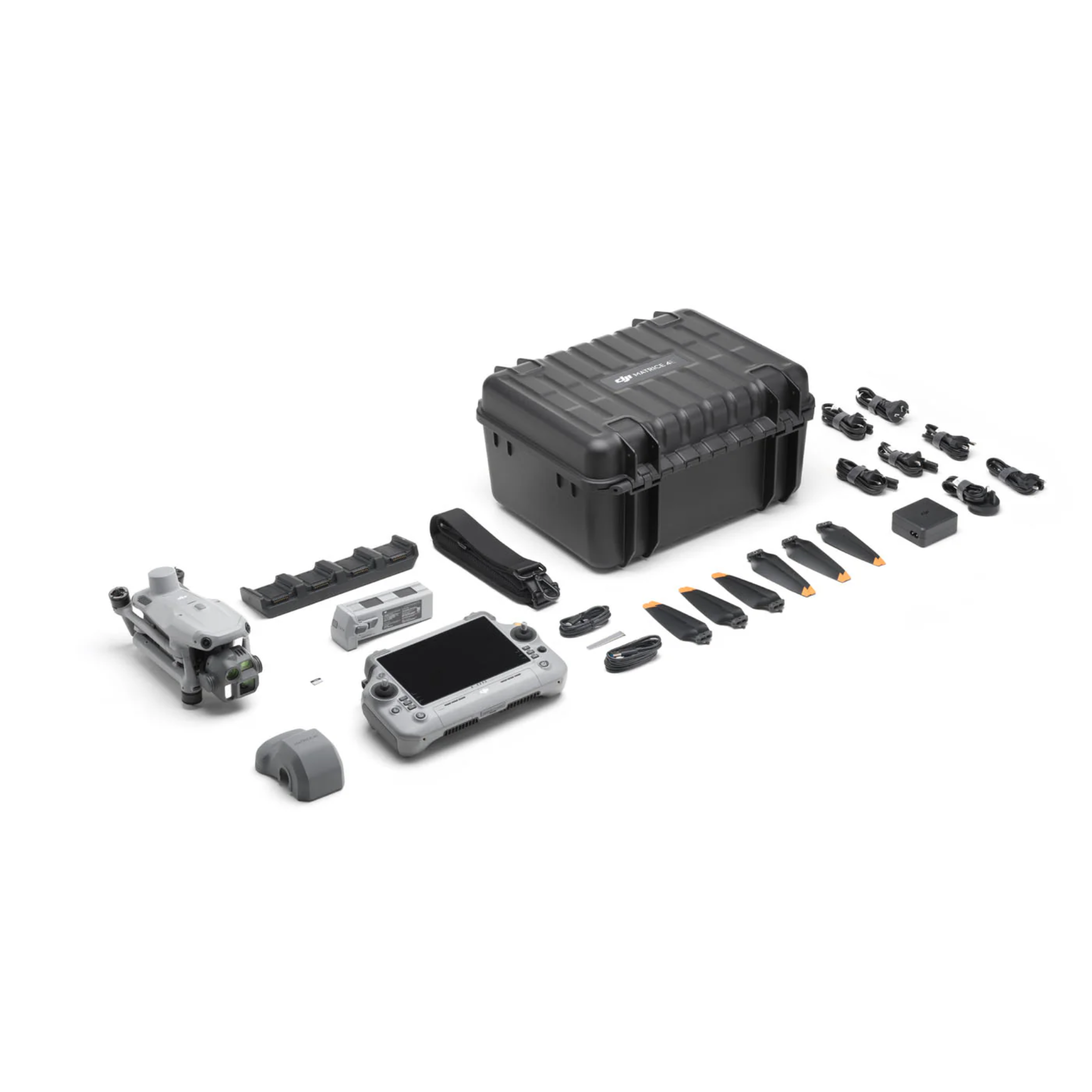
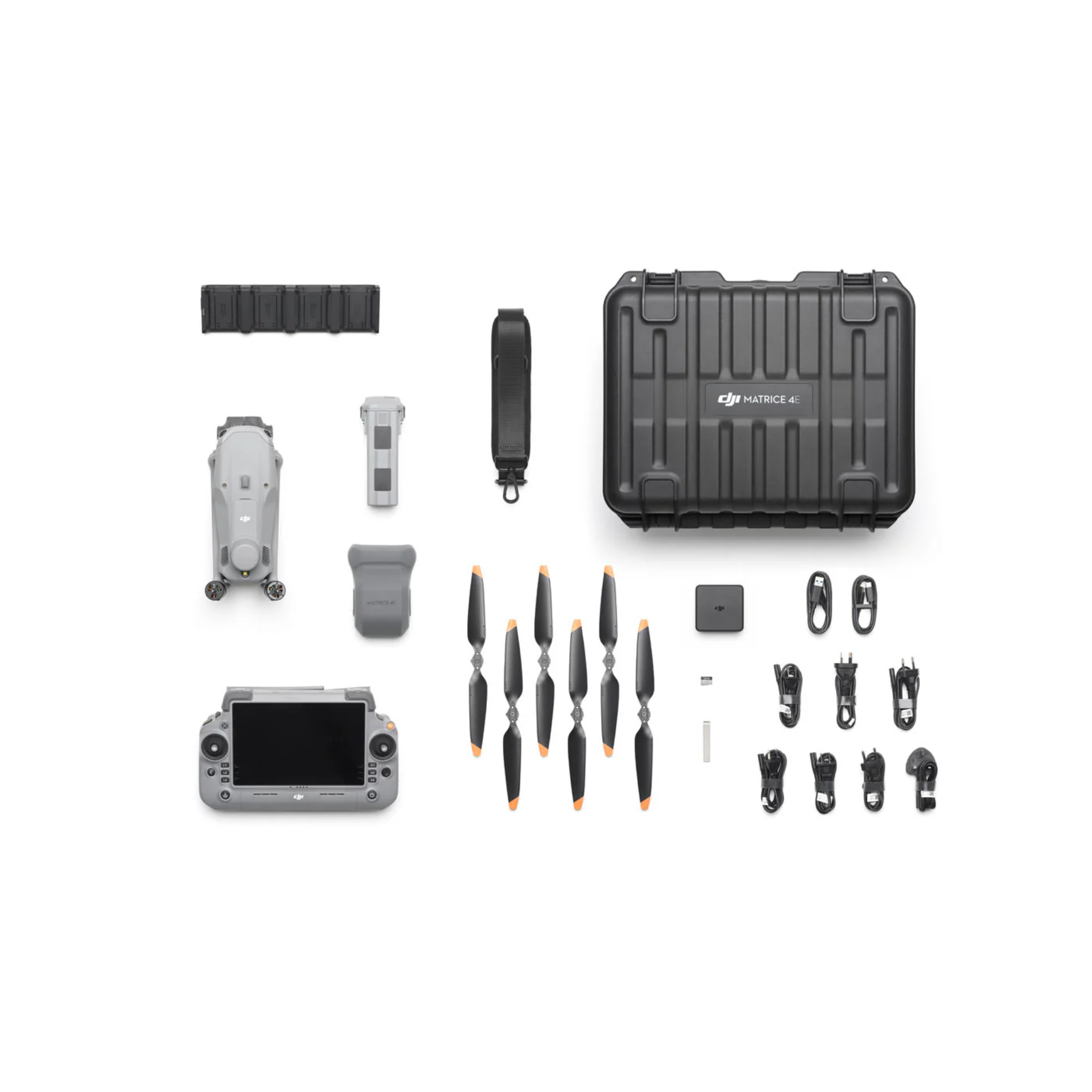
Included in the Box
DJI Matrice 4E × 1
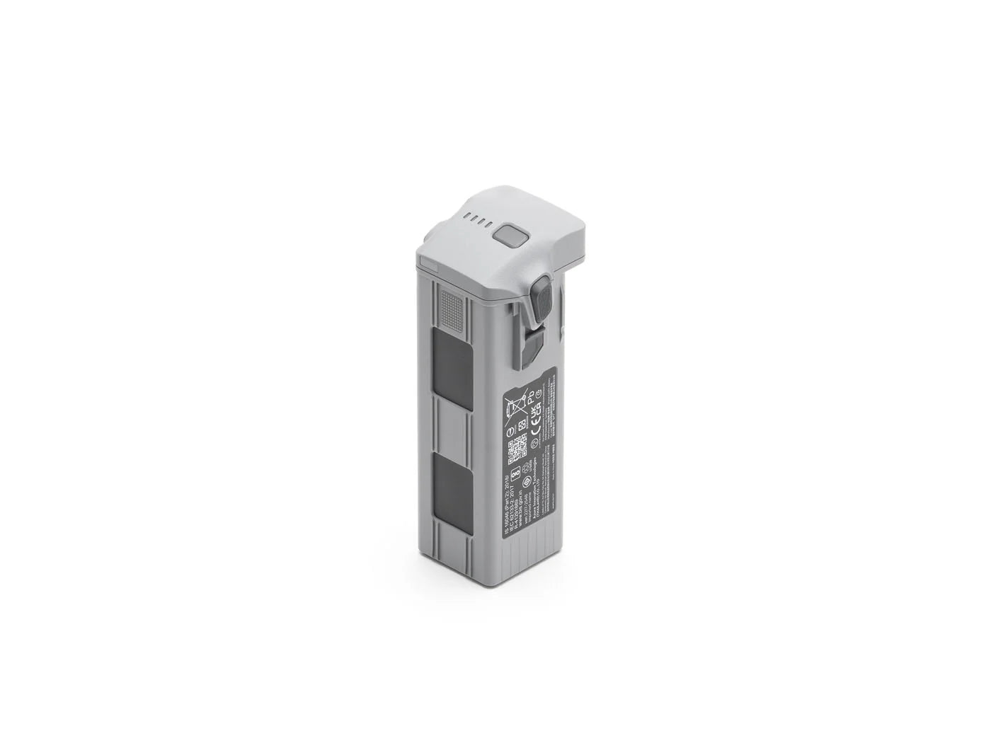
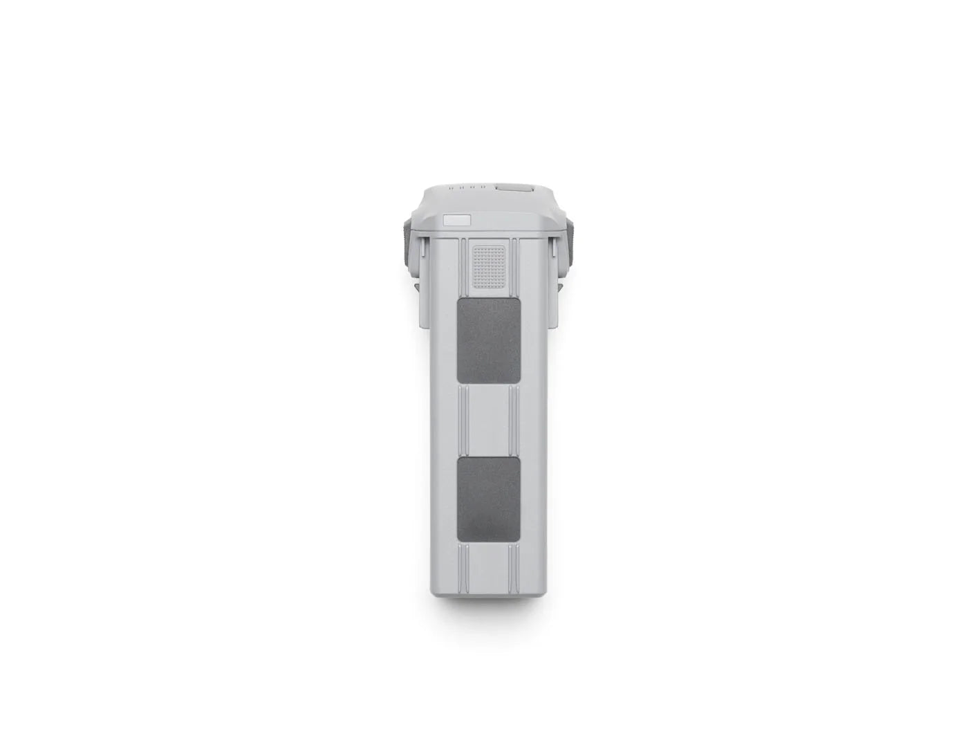
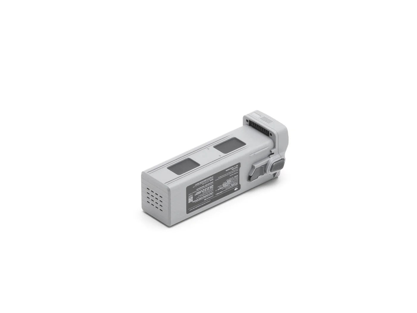
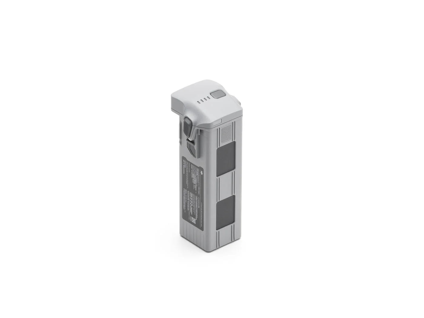
DJI Matrice 4 Series Battery × 1
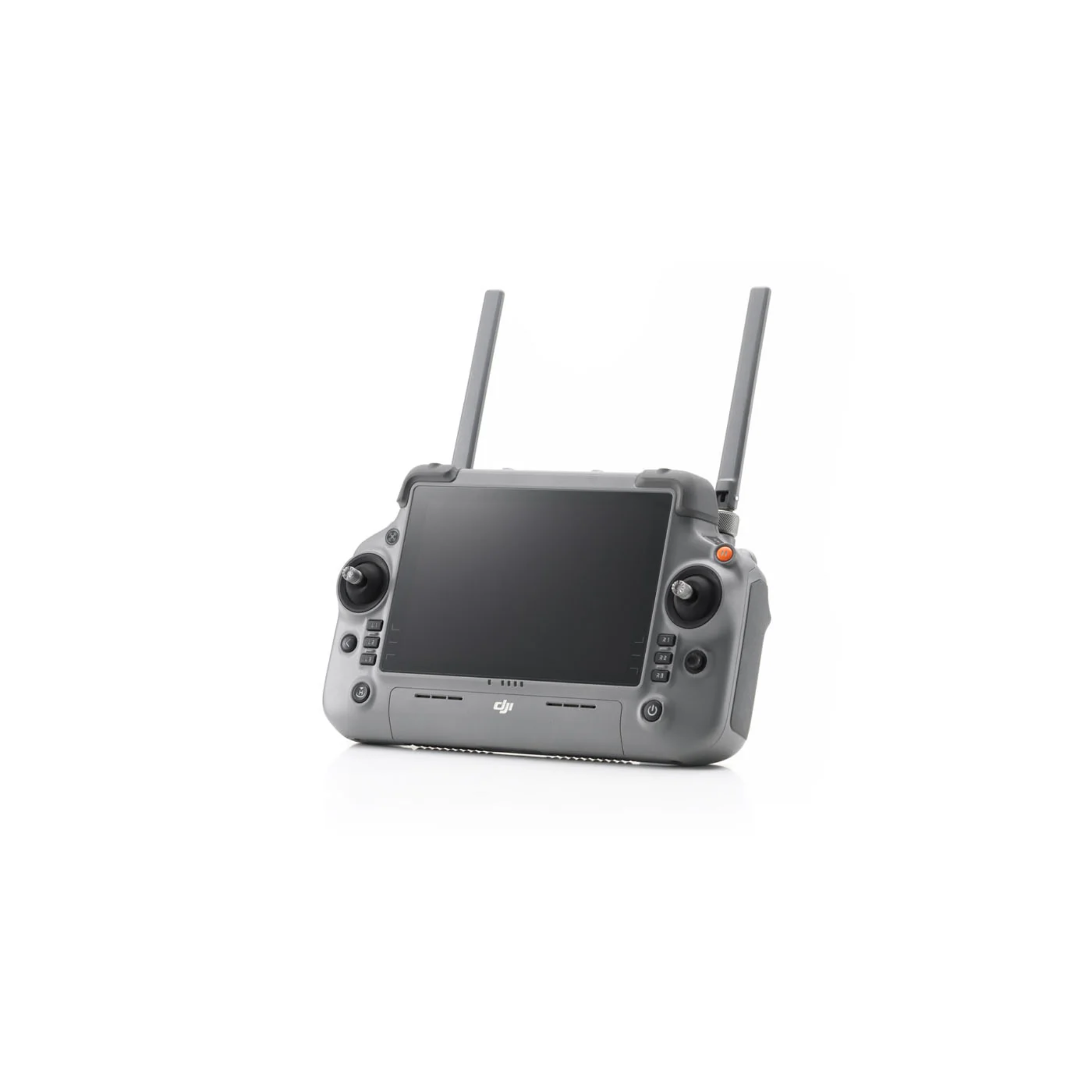
DJI RC Plus 2 Enterprise × 1
DJI 100W USB-C Power Adapter × 1
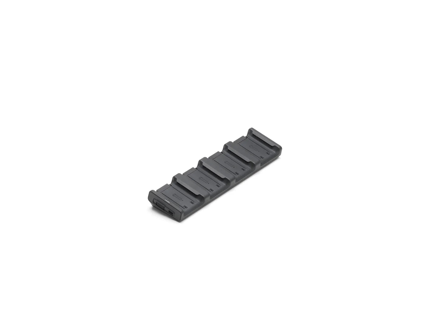
DJI Matrice 4 Series Charging Hub × 1
microSD Card × 1
DJI Matrice 4E Gimbal Protector × 1
DJI Cellular Dongle 2 Pry Bar × 1
DJI Matrice 4 Series Propellers × 3100W Power Adaptor AC Cable × 1
USB-C to USB-C Data Cable × 1
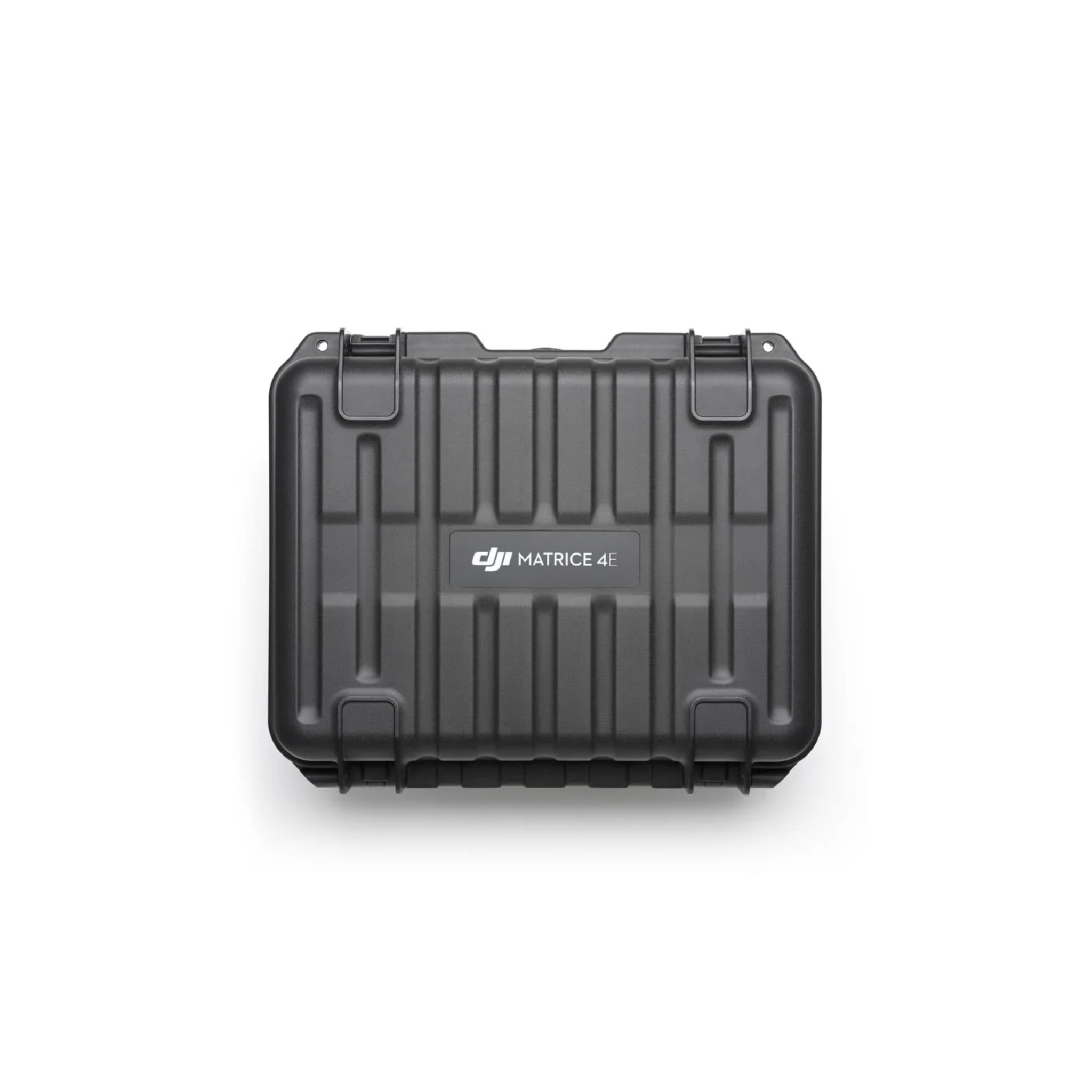
DJI Matrice 4 Series Storage Case × 1
DJI Matrice 4 Series Storage Case Shoulder Strap × 1
DJI Matrice 4 Series: First Flight & Setup Guide
Get up and running with the Matrice 4 Series. This walkthrough covers initial setup, calibration, and key first-flight steps for both the 4T and 4E - so you can confidently deploy your drone and start operating in real-world conditions right away.


Build Your bundle
Compare the M4E
How the DJI Matrice 4E stacks up against the closest DJI Enterprise platforms we carry.


Cameras
20MP mech-shutter wide + dual 48MP tele
Cameras
48MP wide + tele + thermal
Cameras
Wide + 200× zoom + thermal
Thermal
None
Thermal
640×512 radiometric
Thermal
640×512 radiometric
Built-in RTK
Yes
Built-in RTK
Yes
Built-in RTK
Module required
Mechanical Shutter
Yes
Mechanical Shutter
No
Mechanical Shutter
No
Flight Time
~45 min
Flight Time
~45 min
Flight Time
~41 min
Best For
Mapping & surveying
Best For
Thermal inspection
Best For
Heavy-duty inspection
Video Transmission
O4 Enterprise (up to 20 km)
Video Transmission
O3 Enterprise (up to 15 km)
Video Transmission
O3+ (up to 15 km)
Takeoff Weight
1,219 g
Takeoff Weight
1,219 g
Takeoff Weight
3,770 g (with 2 batteries)
FAQs
What is the DJI Matrice 4E best used for?
The Matrice 4E is built for mapping and surveying: topographic surveys, construction progress tracking, mining volume calculations, corridor mapping, and GIS data capture. Its mechanical-shutter wide camera and built-in RTK make it the go-to sub-$10K photogrammetry platform.
Does the Matrice 4E include a thermal camera?
No. The M4E is optimized for visual mapping with a 20MP mechanical-shutter wide camera and dual 48MP tele cameras. If you need thermal imaging, look at the Matrice 4T or Matrice 30T.
How accurate is the Matrice 4E and how long can it fly?
With built-in RTK and a mechanical shutter, the M4E achieves centimeter-level positioning on supported workflows, often without ground control points. Flight time is up to roughly 45 minutes, letting you cover large sites on fewer batteries.
Is the Matrice 4E easy to deploy?
Yes. The system is designed for rapid deployment with minimal setup time. Fold it out, power on, and DJI Pilot 2 mission planning gets you flying survey grids in minutes.
What industries use the Matrice 4E?
Common industries include:
- Surveying & GIS
- Construction & BIM
- Mining & Aggregates
- Utilities corridor mapping
- Civil engineering & infrastructure
Can the M4E capture obliques for 3D models?
Yes. In DJI Terra's oblique mode the triple-camera system captures nadir and oblique imagery simultaneously, eliminating the separate oblique passes single-camera drones require and cutting flights per project significantly.
What mapping software works with the M4E?
DJI Terra, DJI Pilot 2, and DJI FlightHub 2 natively. Third-party platforms including DroneDeploy, Pix4D, and Propeller Aero all support M4E imagery.