

Agriculture Drones | Precision Crop Spraying & Mapping UAVs
Drone Solutions for Agriculture
Precision Agriculture Drones That Scale
Spray more acres, spot crop stress earlier, and cut chemical costs by up to 30%. Agricultural drones are the fastest-growing precision ag tool — and we're North America's #1 authorized dealer for DJI Agras.
What Can Ag Drones Do?
More than just spraying — a complete precision ag toolkit.
Crop Spraying
Variable-rate application of pesticides, herbicides, and fungicides with centimeter GPS accuracy and automated overlap control.
Seeding & Granule Spreading
Broadcast seed, fertilizer, and cover crops over difficult terrain — rice paddies, steep hillsides, and wetlands.
NDVI Crop Scouting
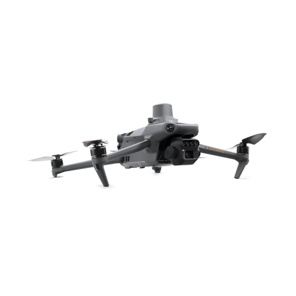
Multispectral sensors create vegetation index maps to identify stress zones before symptoms become visible to the naked eye.
Field Mapping & Prescription Maps
Generate accurate field boundaries, elevation models, and zone prescription maps for variable-rate input programs.
Pollination Support
Emerging use case in orchards and greenhouses — drones supplement natural pollinators using pollen dispersal payloads.
Yield Monitoring
Combine drone imagery with AI analytics to estimate yields pre-harvest and optimize logistics.
Top Agriculture Drones
Authorized DJI Agras dealer — largest inventory in North America.


Frequently Asked Questions
How much does an agricultural drone cost?
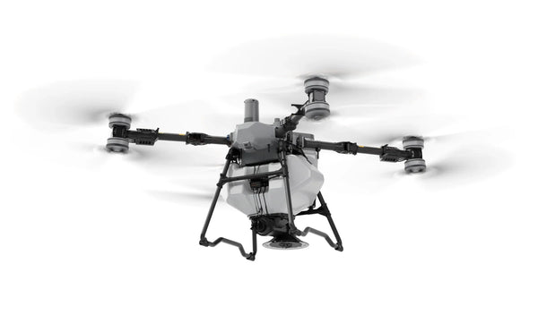
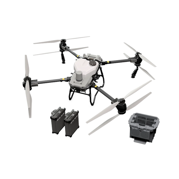
Entry-level ag drones start around $5,000 for scouting platforms. Full spray systems like the DJI Agras T50 run $19,000–$25,000 with batteries and accessories. Large-scale operations often see ROI in 1–2 seasons through reduced labor and chemical costs.
Do I need a license to fly agricultural drones?
In the U.S., commercial ag drone operators need an FAA Part 107 Remote Pilot Certificate. Some states have additional pesticide applicator licensing requirements when applying chemicals via drone — check with your state's Department of Agriculture.
How does drone spraying compare to traditional sprayer tractors?
Drones offer 3–5× faster application on complex terrain, eliminate soil compaction, enable night spraying, and can access slopes and waterlogged fields inaccessible to equipment. Tractors remain more cost-effective for very large, flat fields with simple geometry.
What is NDVI and why does it matter?
NDVI (Normalized Difference Vegetation Index) uses near-infrared and red light reflectance to measure plant health. Drones equipped with multispectral sensors create NDVI maps that reveal irrigation issues, pest pressure, or nutrient deficiencies days or weeks before symptoms are visible — enabling targeted, early intervention.
Can drones replace crop dusters?
For smaller operations (under 500 acres), drones are frequently more cost-effective and precise than manned aircraft. For very large acreage, crop dusters still have a speed advantage. Many large operations use both: drones for precision spot-treatment and manned aircraft for broad broadcast application.
Grow More. Spray Less. Profit More.
Talk to our agriculture drone specialists about the right system for your crop type and acreage.
Get Ag Drone PricingOr call us: 1-800-DRONE-HQ
Spray drones and crop intelligence
Cover more acres per day, get into fields a ground rig would rut, and spot crop stress from the air weeks before it shows up in yield.
Pick the aircraft by your acreage and your job
Each tile goes straight to the platform we would spec for that operation.

Before you commit to a platform
Tell us your acreage and we will run the numbers
Acres per season, crop, and terrain. We will spec the aircraft, batteries, and charging, then send a formal quote.