

Drones for surveying, mapping, and LiDAR
RTK positioning, LiDAR and photogrammetry payloads, and the flight time to cover a corridor in one mobilization instead of three.
Pick the aircraft by the survey you are flying
Each tile goes straight to the platform we would spec for that job.
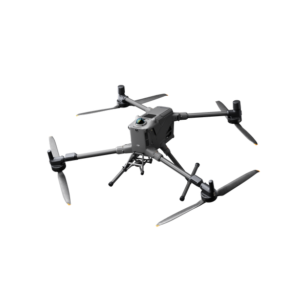
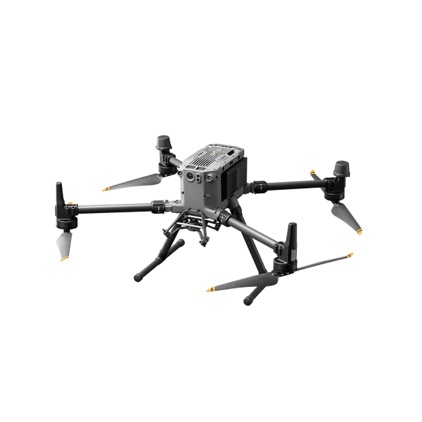
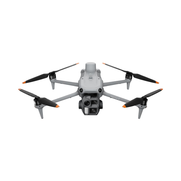
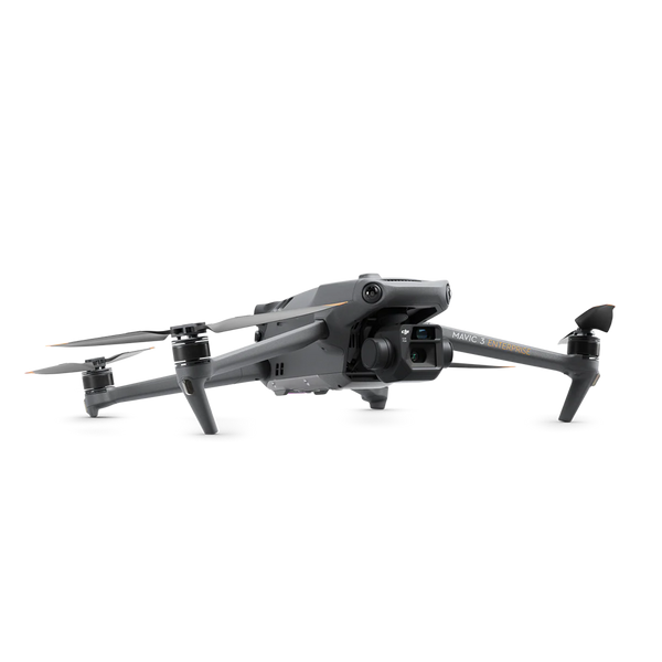
Surveying & Mapping Drones | RTK, LiDAR & Photogrammetry UAVs
Drone Surveying and Mapping
Aerial survey collapses the time between mobilizing a crew and handing a client a deliverable. A single flight can produce an orthomosaic, a digital surface model, and a point cloud from the same pass, over ground that would take a field crew days to walk.
The accuracy you can promise comes from three things working together: positioning, payload, and processing. RTK or PPK positioning ties the imagery to real-world coordinates. The payload decides whether you are delivering photogrammetry or true LiDAR returns under canopy. Processing turns the capture into something a client can open.
Where drones fit best: topographic surveys, volumetric stockpile measurement, corridor mapping for road and rail, as-built documentation, and pre-construction site models. Where they do not: under dense canopy without LiDAR, in controlled airspace you have not coordinated, and on projects where the client requires a licensed surveyor to stamp the deliverable, which is a professional requirement the aircraft does not change.
The aircraft is half the decision
Accuracy comes from the payload and the workflow behind it.
Tell us the accuracy spec and we will build the kit
Site size, required tolerance, and what you deliver to the client. We will spec aircraft, payload, and processing, then send a formal quote.