



Max flight time

Max payload capacity

O4 Enterprise transmission

Centimeter-level positioning


Max flight time

Weather resistance
Simultaneous payload support

TB65 batteries


Max flight time

Uncooled VOx thermal

Max hybrid zoom

Laser rangefinder


Max flight time
Centimeter accuracy

Dual tele cameras
Laser rangefinder


Max flight time
Hybrid zoom range
4/3 CMOS camera
O3 transmission range
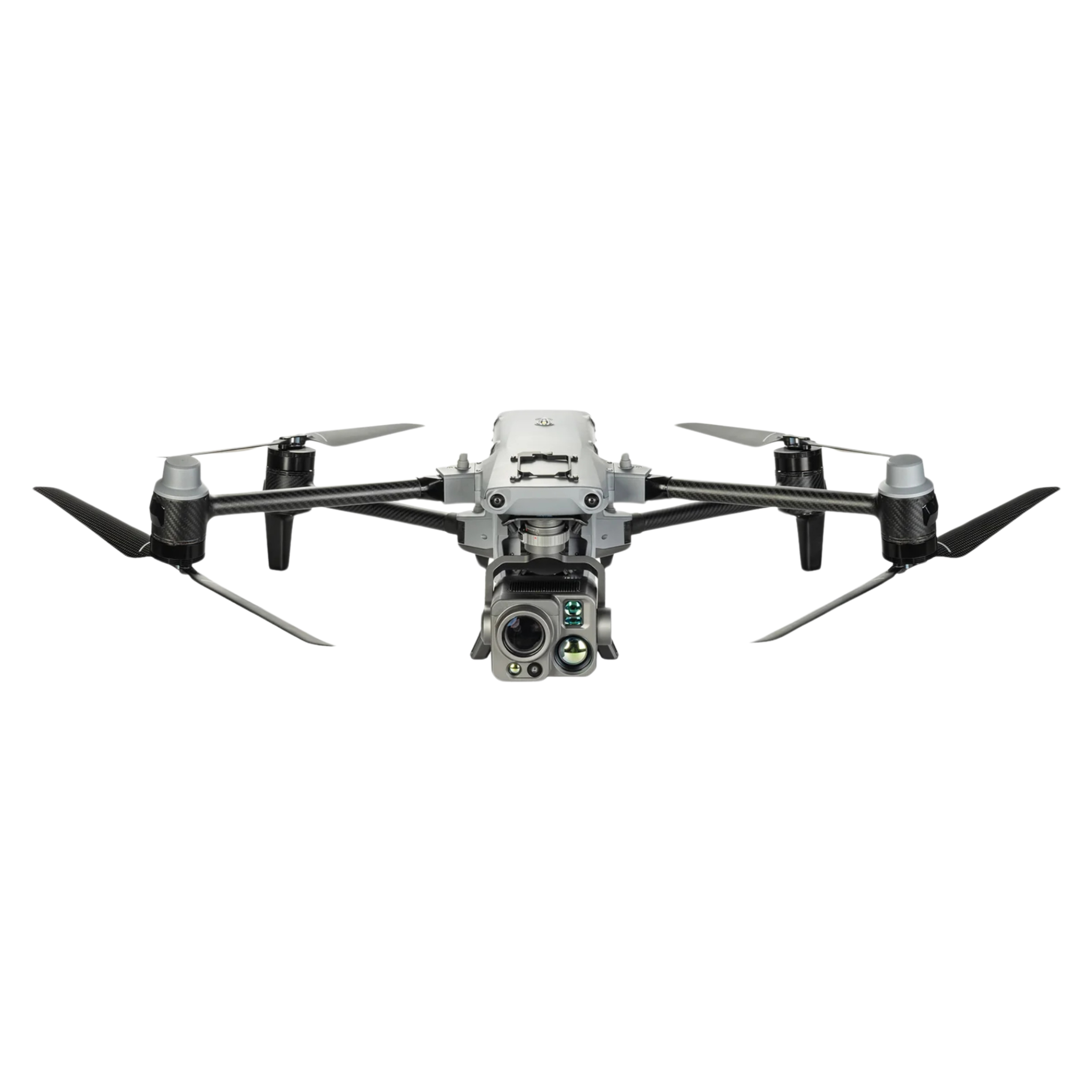
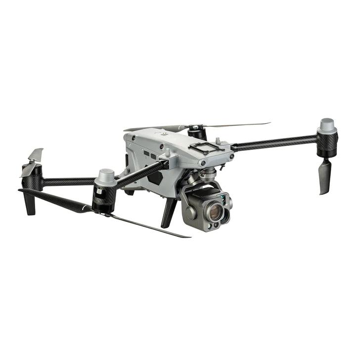
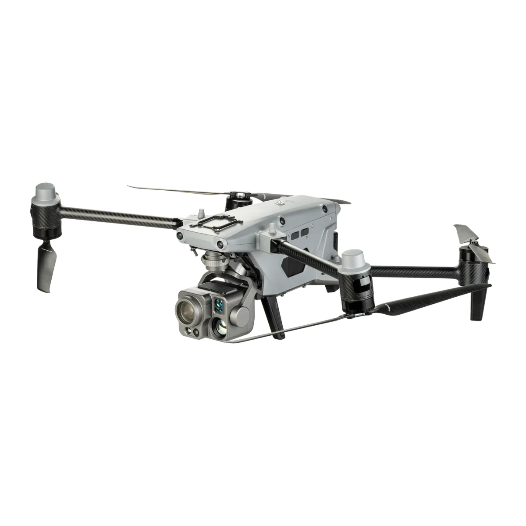
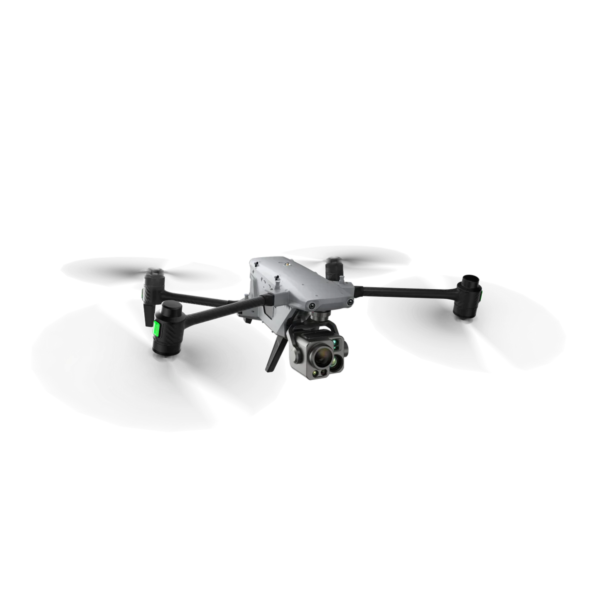
Max flight time
4K zoom camera
Laser rangefinder
Transmission range


Radiometric thermal
RTK accuracy
Visual camera
Max flight time

Maximize Yield. Minimize Labor.
Cover more ground with precision agriculture technology.
RTK accuracy
1-inch CMOS camera
Max flight time
Transmission range


Max spray payload

Treatment coverage rate

Safety System 3.0

Effective spray width
Aerial mapping and surveying drones have revolutionized the way geospatial professionals collect data — delivering centimeter-level accuracy across large areas in a fraction of the time required by traditional ground survey methods. Global Drone HQ is your authorized dealer for professional mapping UAVs and photogrammetry/LiDAR payloads from DJI, Freefly, MicaSense, Sentera, and GeoCue.
Photogrammetry Drones
Photogrammetry uses overlapping aerial imagery to generate 3D point clouds, orthomosaics, and digital elevation models (DEMs). The DJI Matrice 400 paired with a Zenmuse P1 full-frame camera delivers survey-grade mapping accuracy with 45-min flight time and RTK positioning, covering hundreds of acres per mission. The DJI Mavic 3 Multispectral adds multispectral band capture to the photogrammetry workflow, enabling simultaneous RGB and NDVI mapping for precision agriculture and environmental monitoring.
LiDAR Mapping Drones
LiDAR generates dense 3D point clouds by measuring precise laser pulse return times. Unlike photogrammetry, LiDAR penetrates vegetation canopy to map the bare-earth surface below — making it essential for forestry, corridor surveys, and flood modeling. The DJI Zenmuse L3 for the Matrice 400 delivers 5-return point clouds at 240,000 points/second with 4–5cm vertical accuracy.
RTK GPS for Survey-Grade Accuracy
Real Time Kinematic (RTK) GPS eliminates the need for dense ground control point networks by correcting GPS errors in real time during flight, achieving 1–3cm horizontal and vertical accuracy. All our mapping drone platforms support RTK through DJI's D-RTK 2 base station or NTRIP network corrections.
Software Integration
Our mapping drones integrate with leading geospatial processing software including DJI Terra, Pix4D, Agisoft Metashape, and DroneDeploy, enabling streamlined workflows from flight planning through final deliverable production.
Need help selecting the right mapping drone for your project?
Talk to a Specialist →