



Spectral bands

Panchromatic output

Vegetation indices

Compatible aircraft
Spectral bands
Pan-sharpened resolution
RGB output

Payload weight
Spectral bands
Panchromatic RGB
GSD at 60 m

Capture rate
Spectral bands

Radiometric imager
High-res band
Shutter type
Integrated sensors
Discrete spectral bands
Thermal imager
Ultra-high-res band
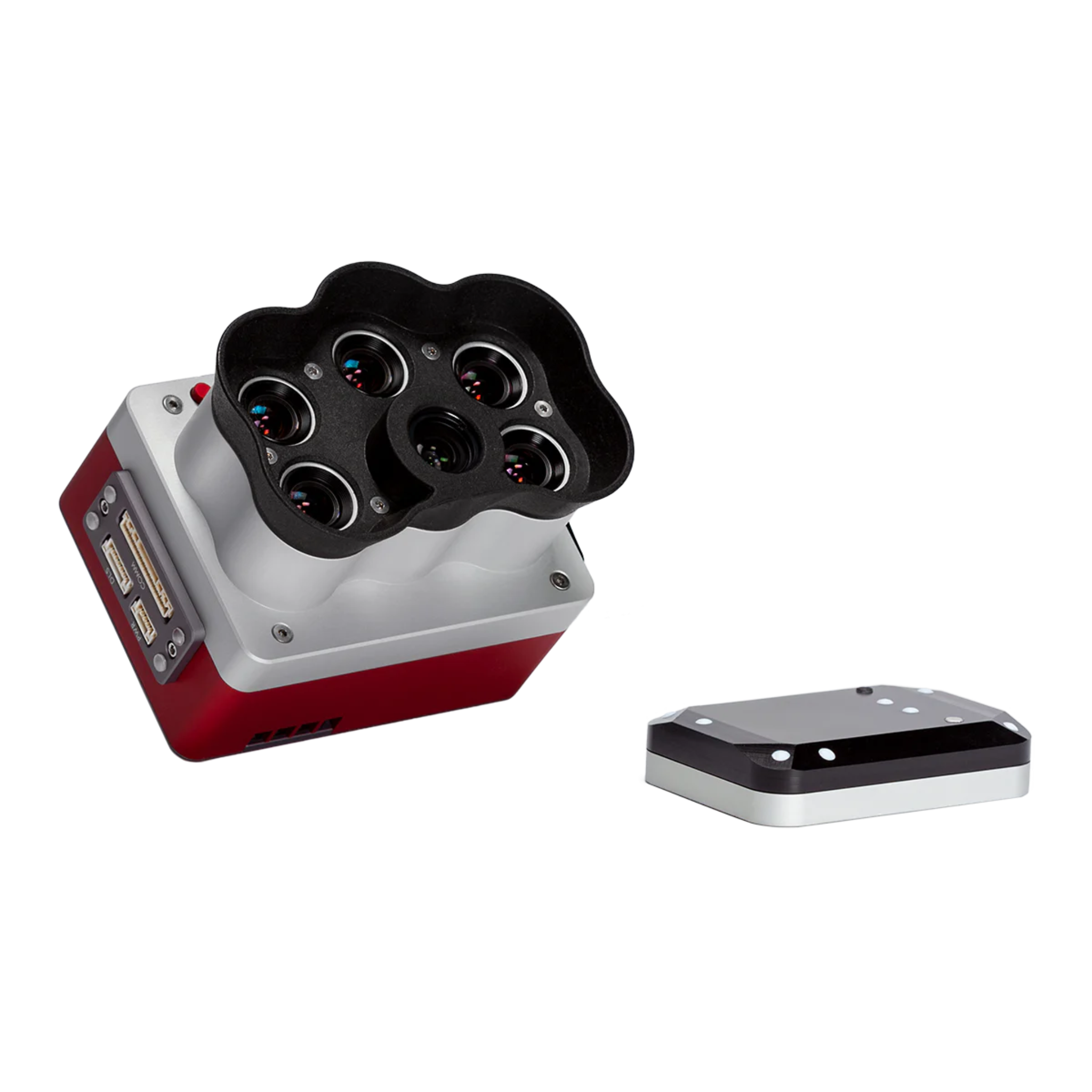
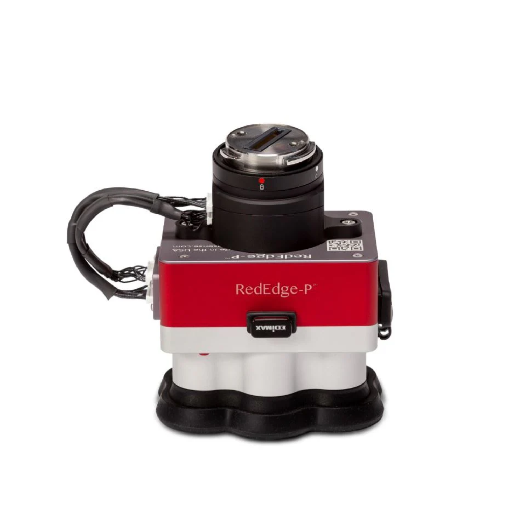
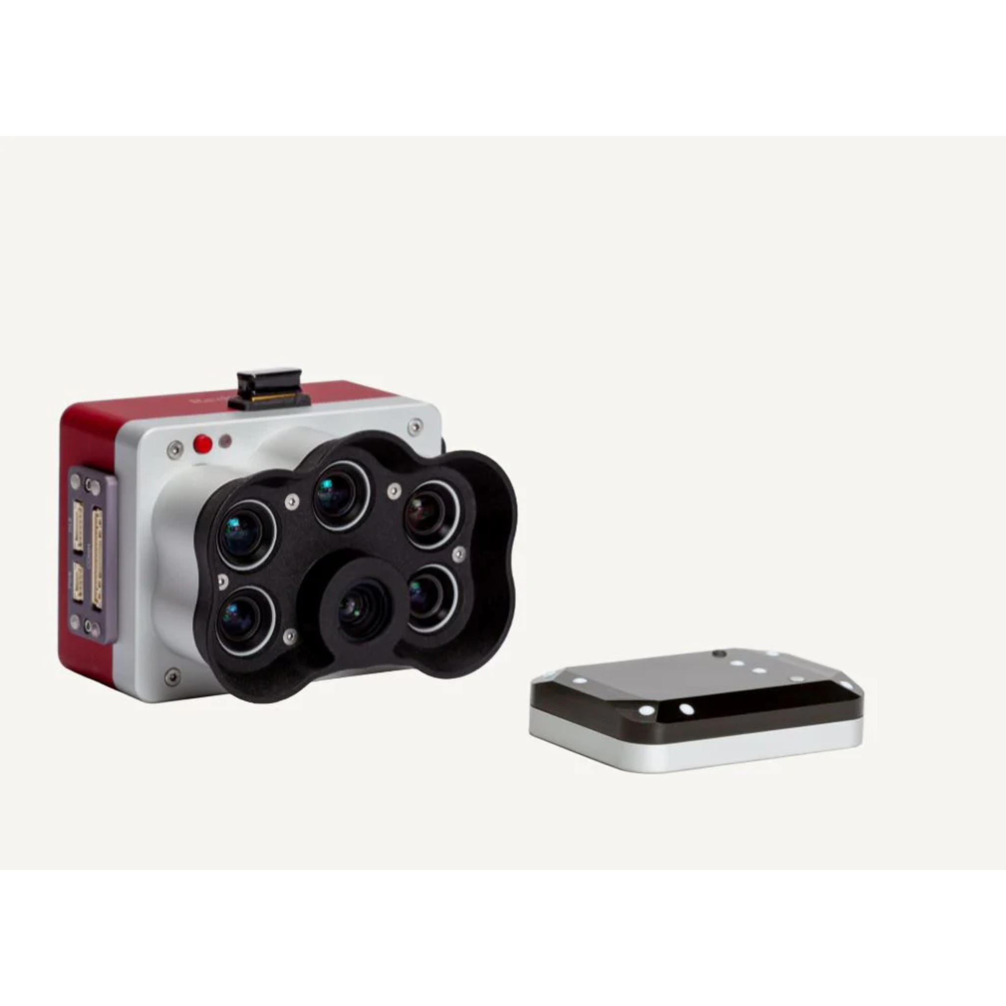
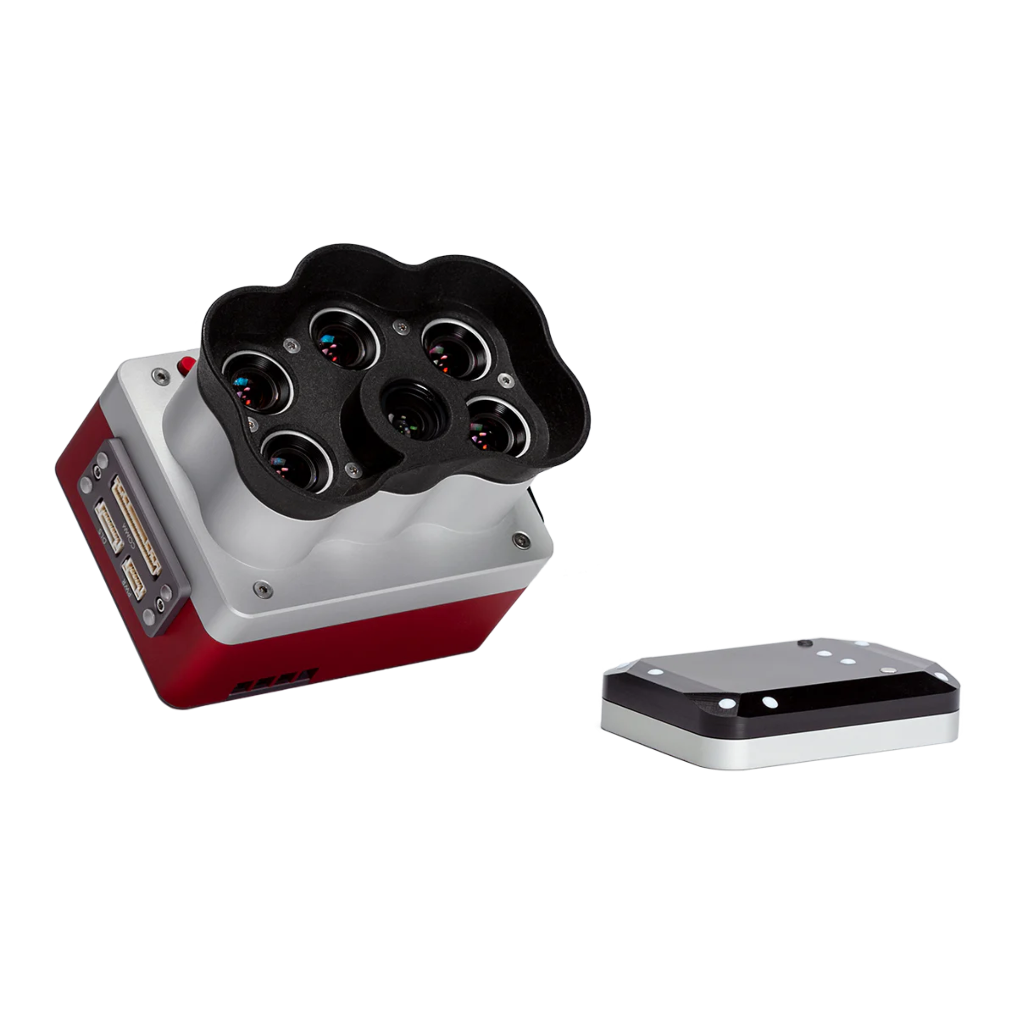
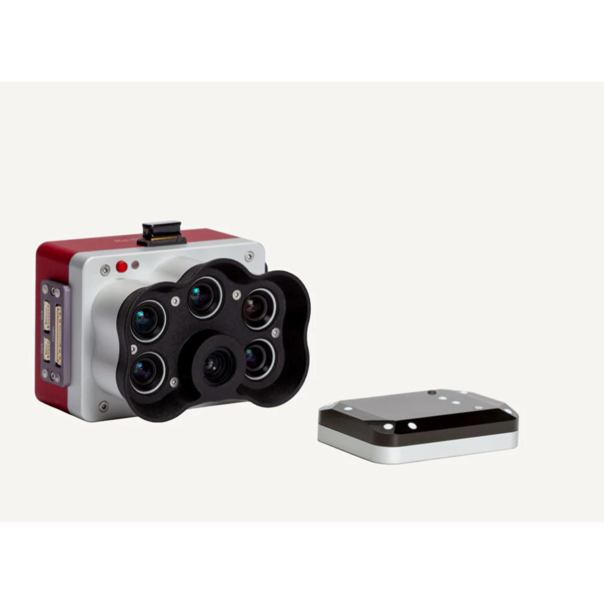
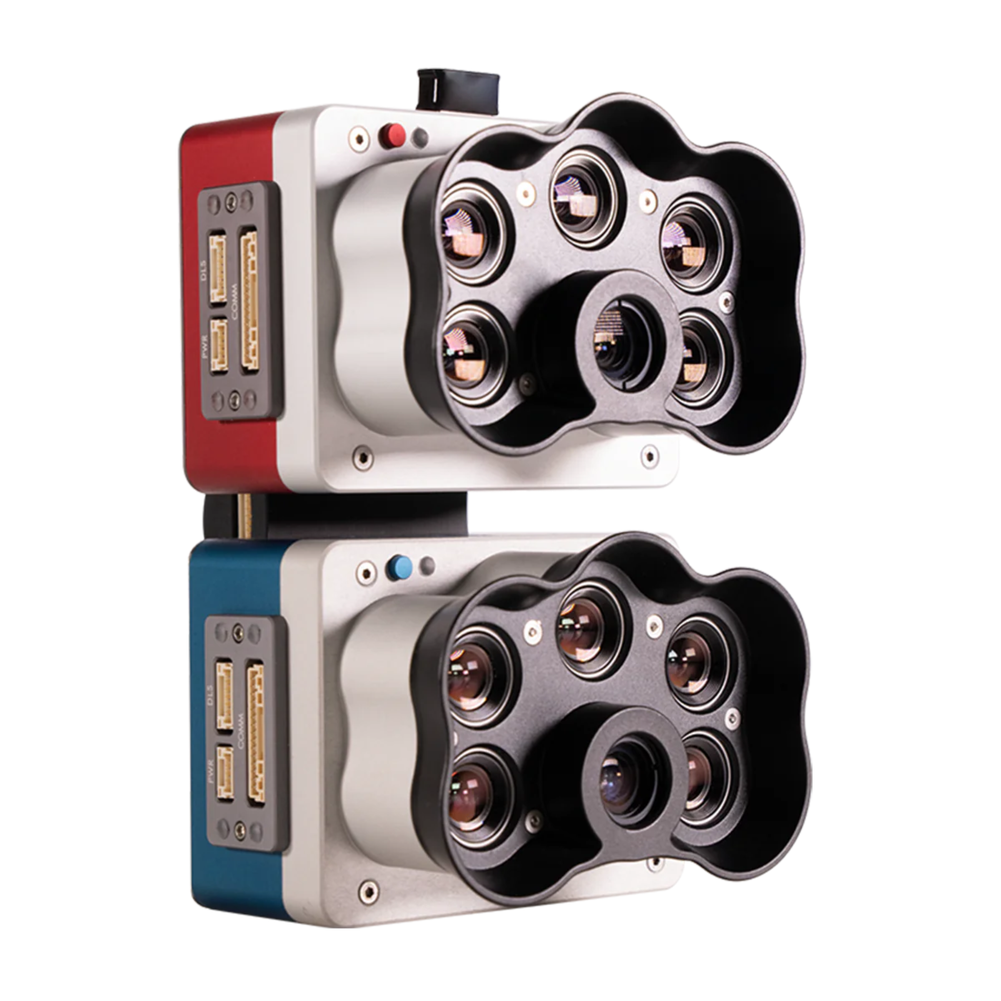
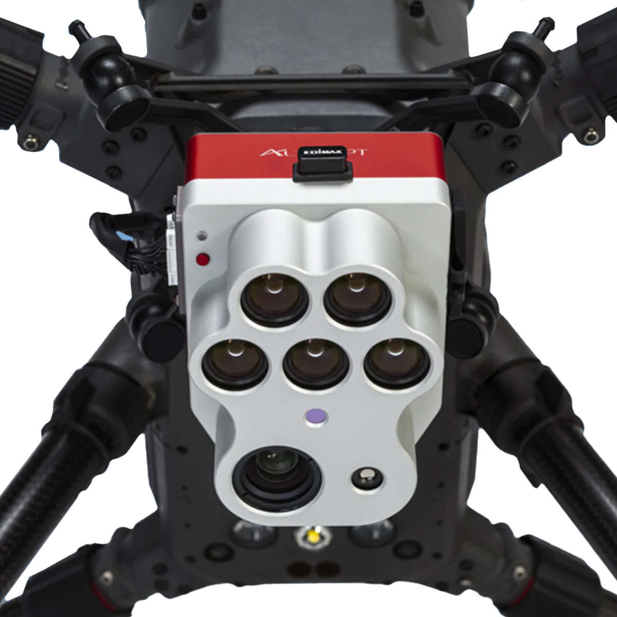
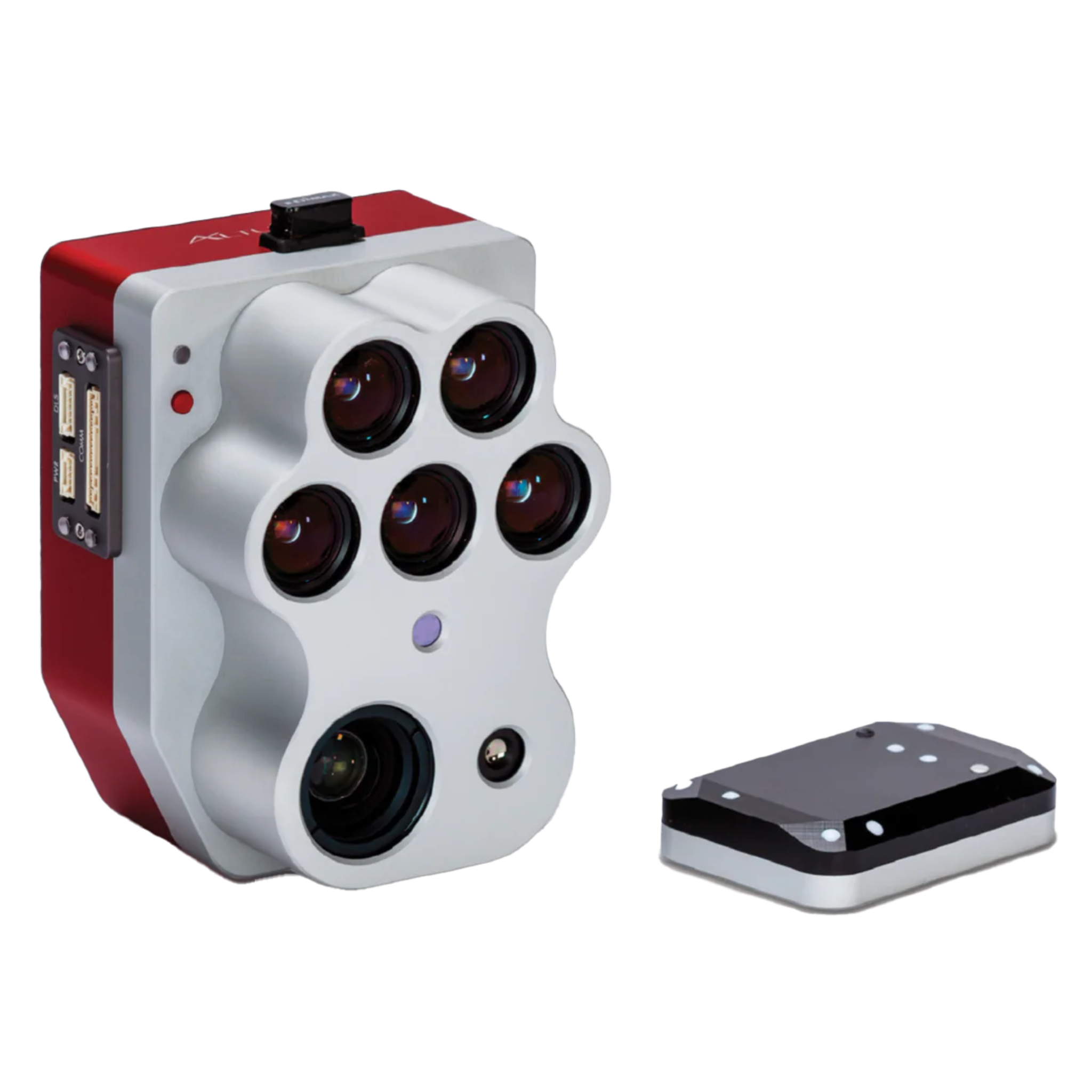
MicaSense is the industry standard for drone-based multispectral and thermal sensing in precision agriculture. This collection features the RedEdge-P, Altum-PT, and dual-camera configurations that deliver calibrated, science-grade reflectance data for NDVI mapping, crop stress detection, canopy analysis, and yield modeling. Each system captures multiple spectral bands simultaneously, ensuring accurate data even in variable lighting conditions. Trusted by agronomists, ag service providers, and university researchers worldwide who need repeatable, publication-quality field data from every flight.