



Sensor resolution

Vegetation indices

Host aircraft

Analytics platform

GPS georeferencing

Image data channels
Images captured

Flight time
Ground sample distance
GPS georeferencing
Images per job
Flight time
Thermal accuracy
Spectral coverage
Visual band
UAS integration
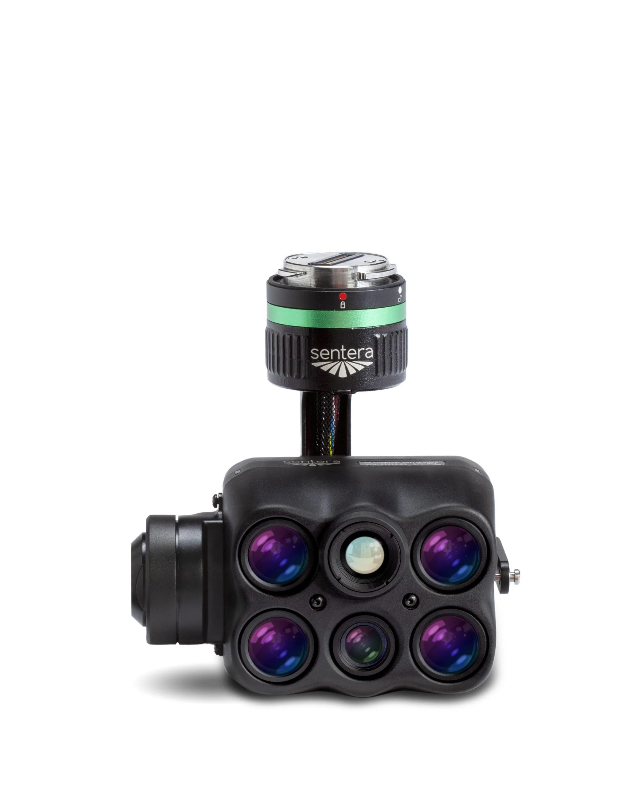
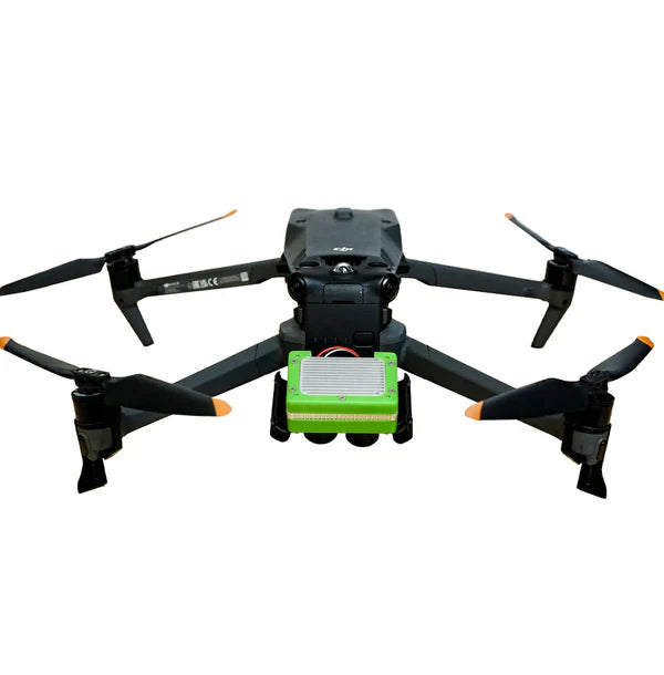
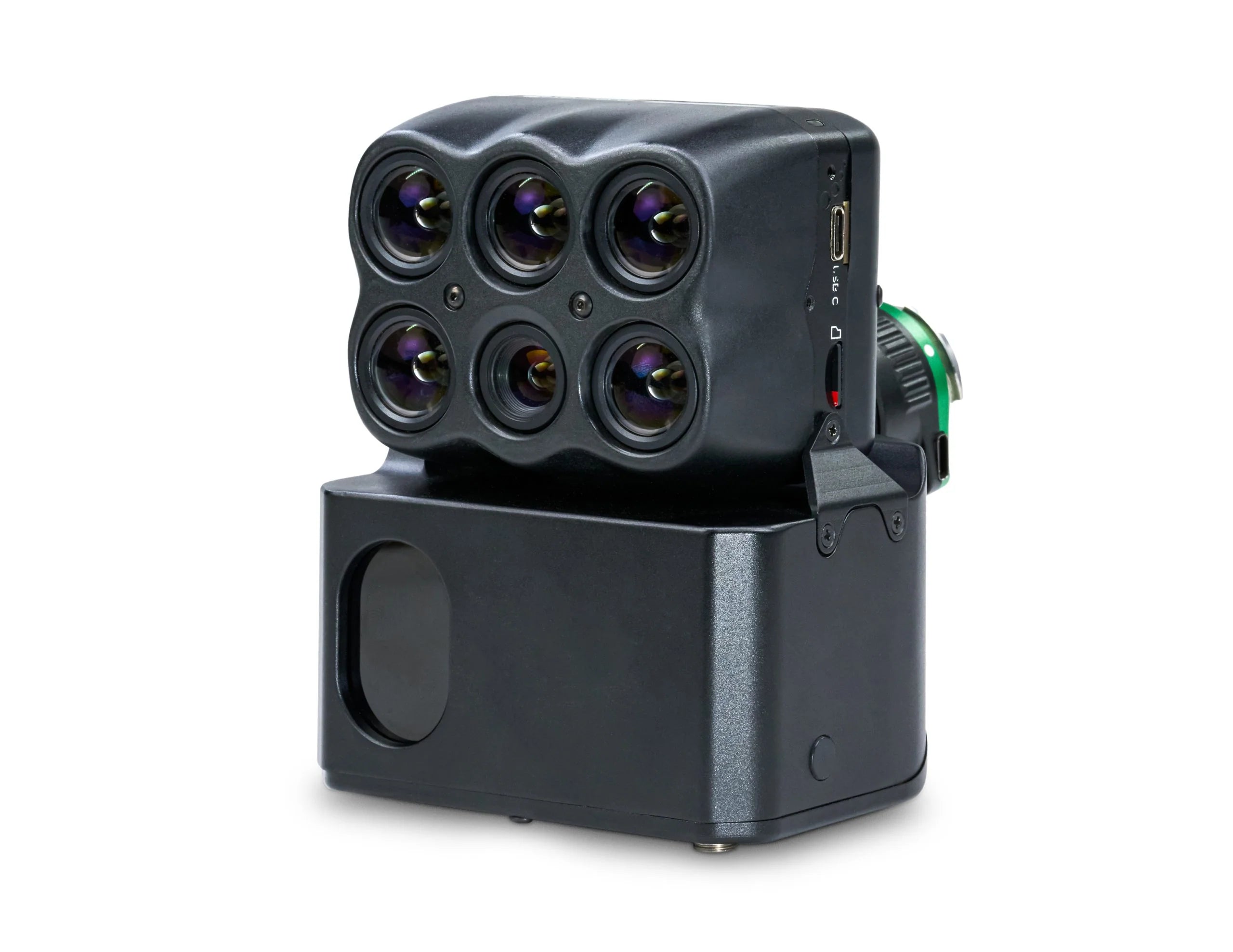
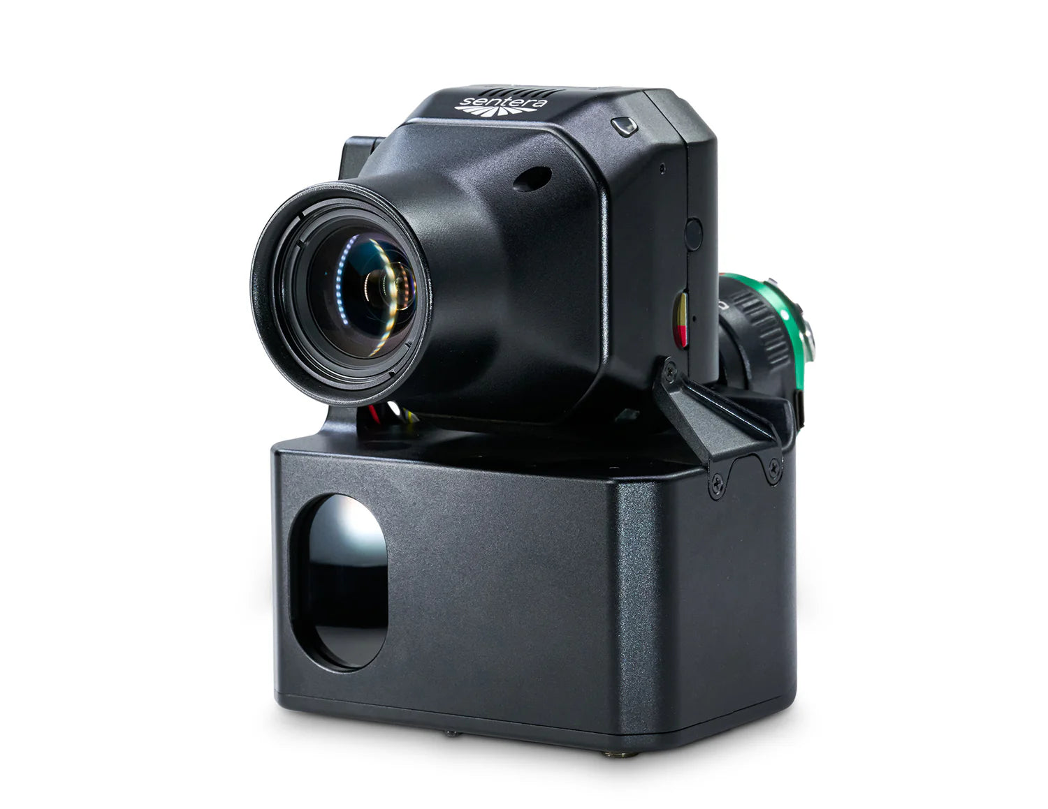
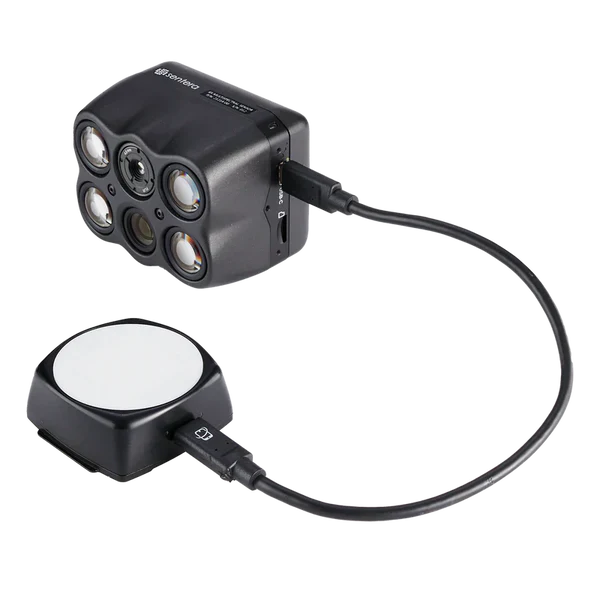
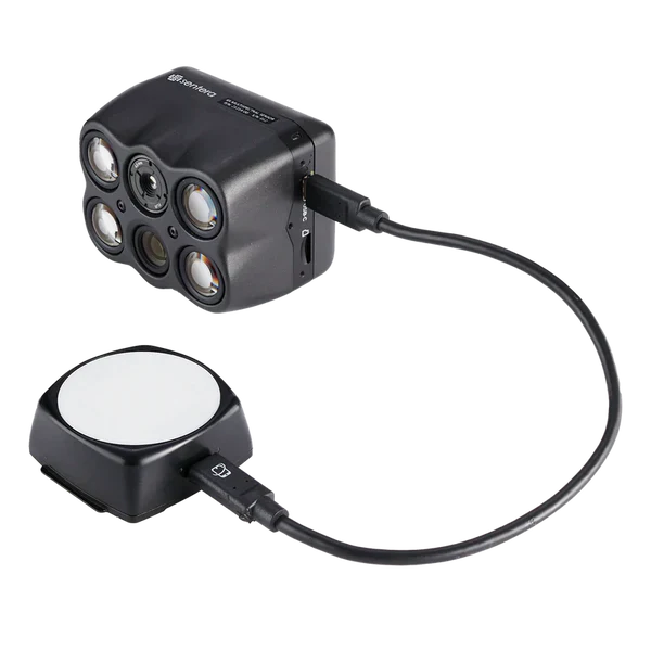
Sentera 6X Thermal Pro Sensor Kit
FLIR Boson imager
Multispectral imagers
RGB resolution

Internal SSD
Imaging bands

Stabilized payload
Compatible aircraft

Mount interface
Sentera builds compact, high-performance sensors and analytics software purpose-designed for drone-based precision agriculture. This collection includes single and double 4K sensors capable of capturing NDVI, NDRE, and other vegetation indices in a single pass, plus the FieldAgent analytics platform for turning raw imagery into actionable scouting reports. Compatible with DJI platforms and built for agronomists, crop consultants, and ag retailers who need fast, accurate field intelligence without complex processing workflows. Upgrade your scouting program with data that drives real management decisions.