



Max flight time

Radiometric thermal

Takeoff weight

Max hybrid zoom
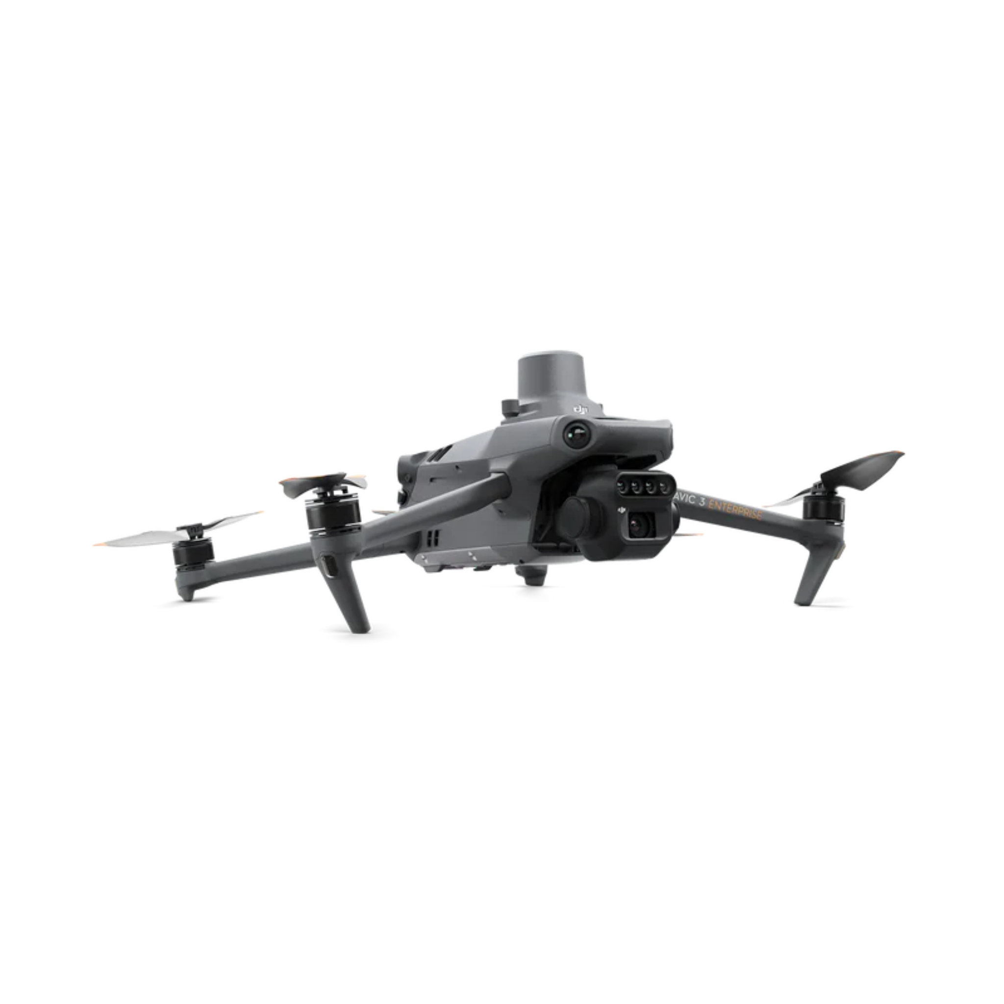
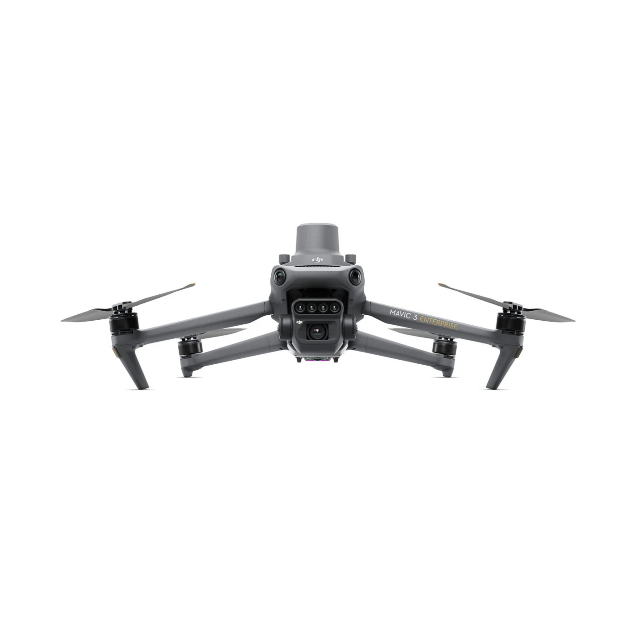
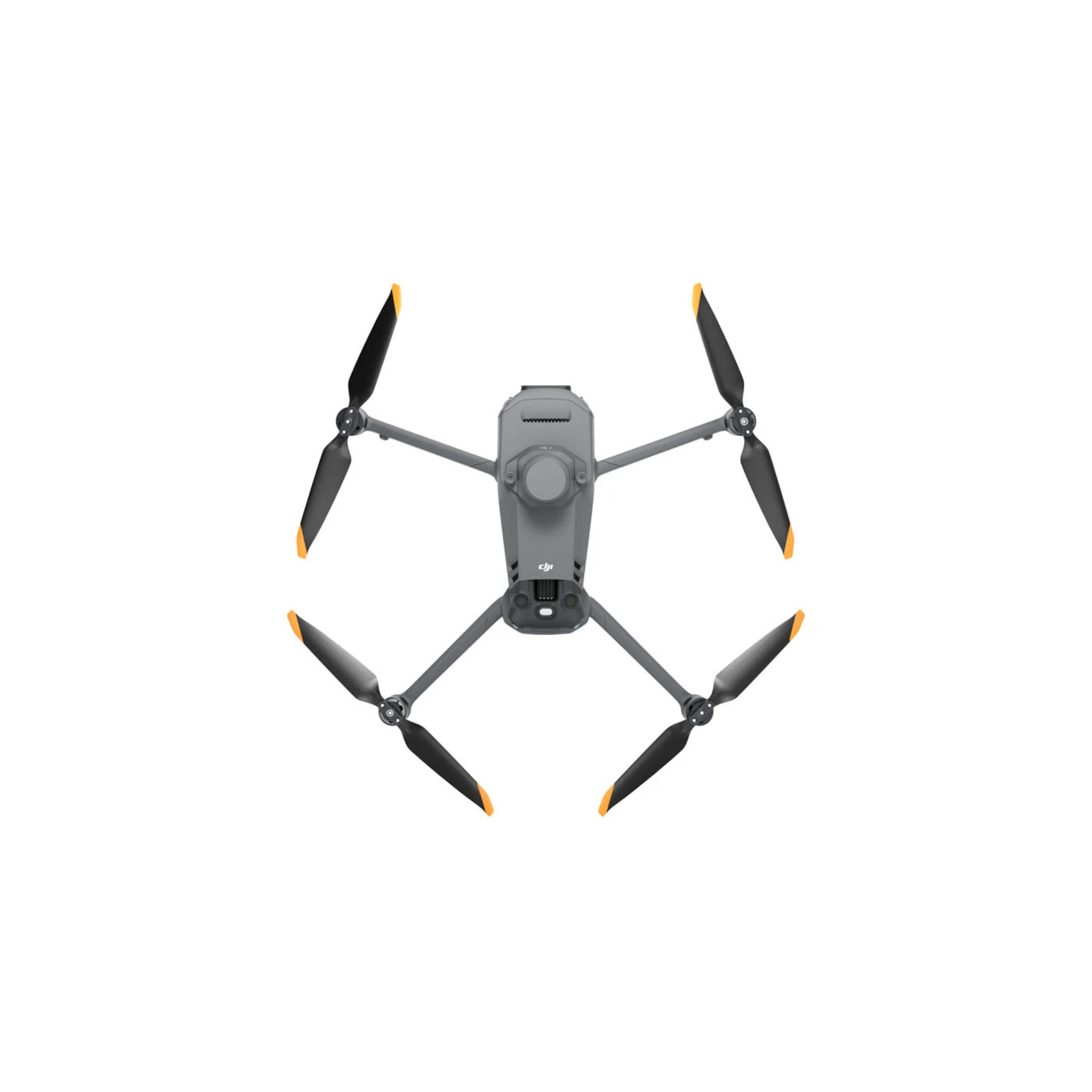
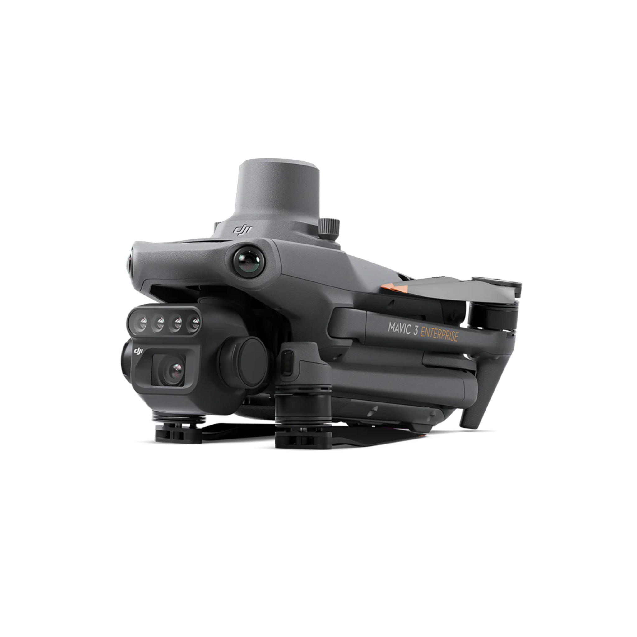
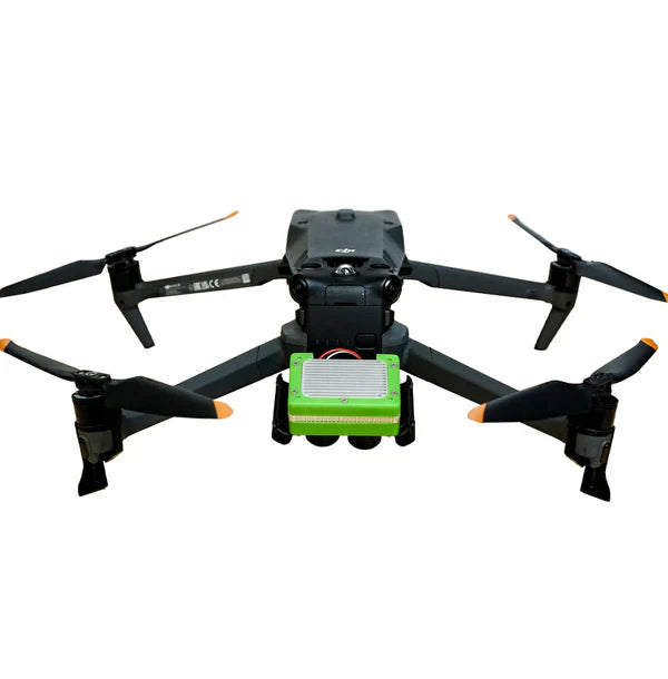
DJI Mavic 3 Multispectral Drone

Multispectral sensors
Max flight time

Coverage per flight

Centimeter accuracy


Max flight time
Hybrid zoom range

4/3 CMOS camera

O3 transmission range
Sensor resolution
Vegetation indices

Host aircraft

Analytics platform
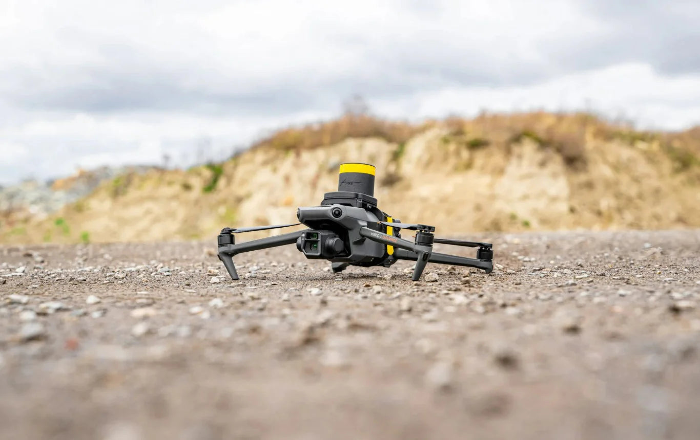
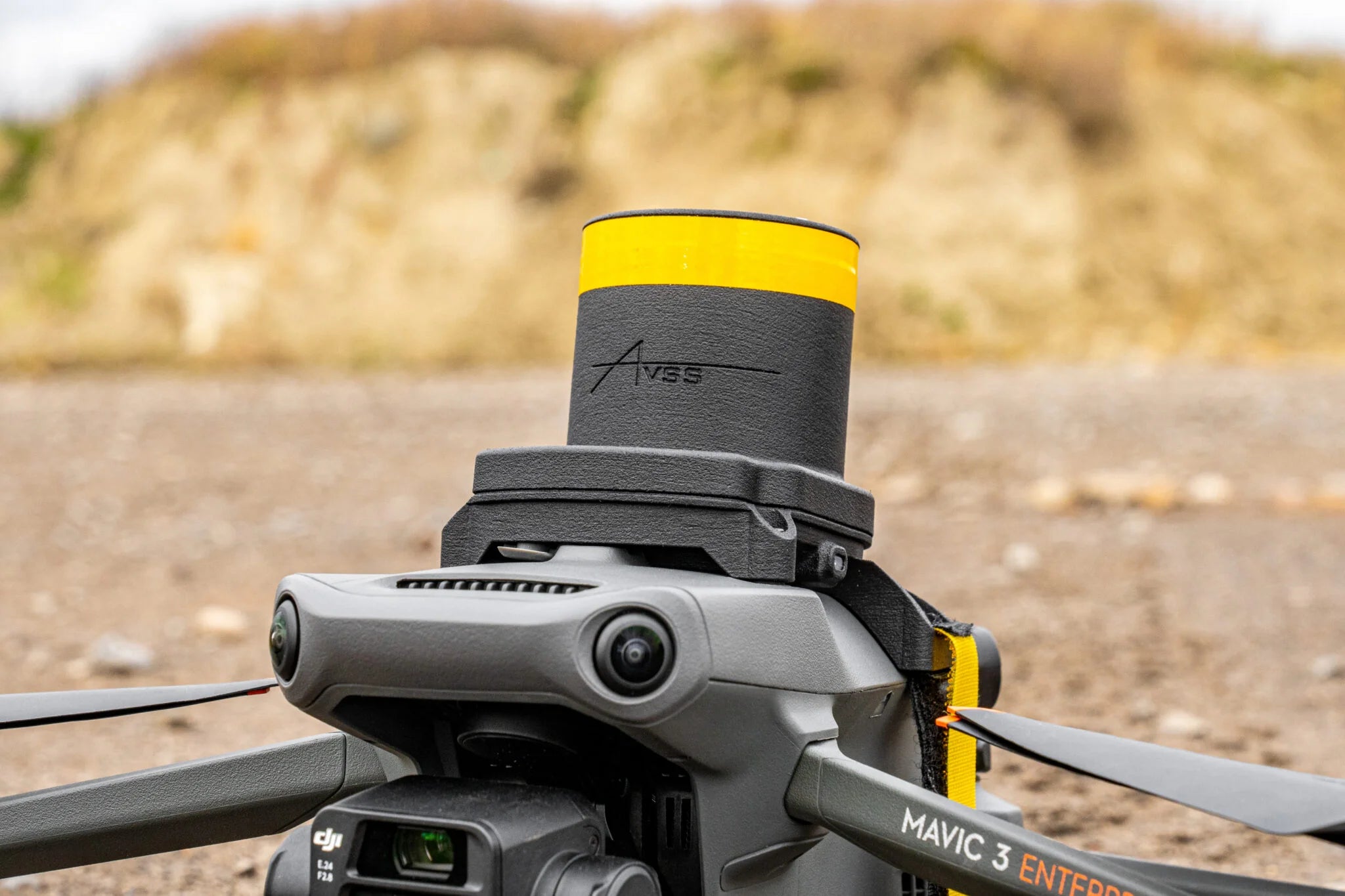
AVSS PRS-M3EUS Drone Parachute

FAA compliant
Compatible aircraft

Deployment module

Flight termination
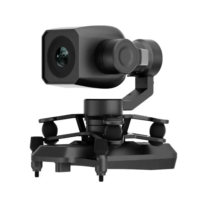
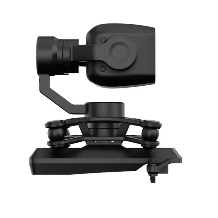
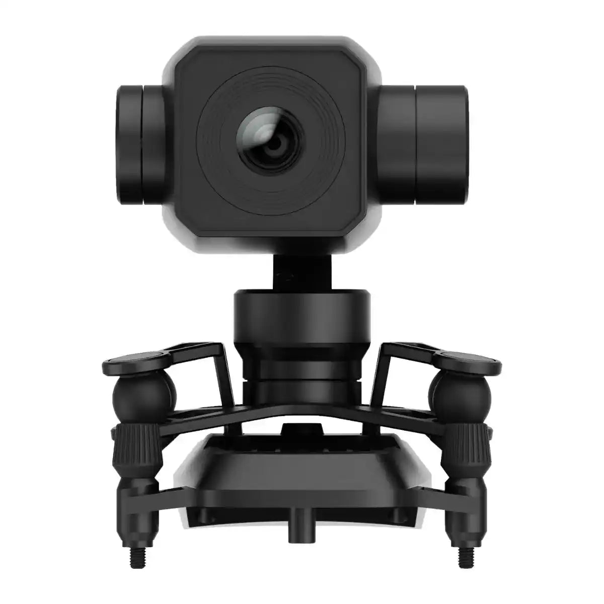
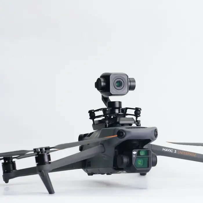

Minimum illumination

Gimbal accuracy
CMOS resolution
Wide dynamic range
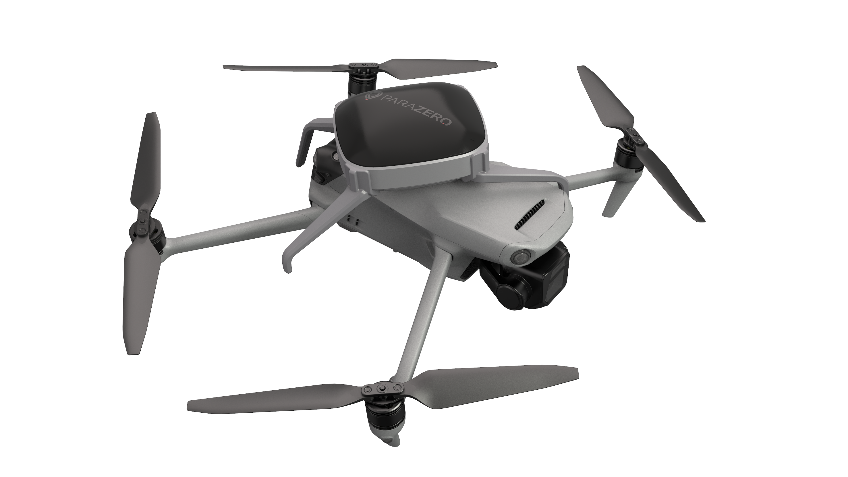
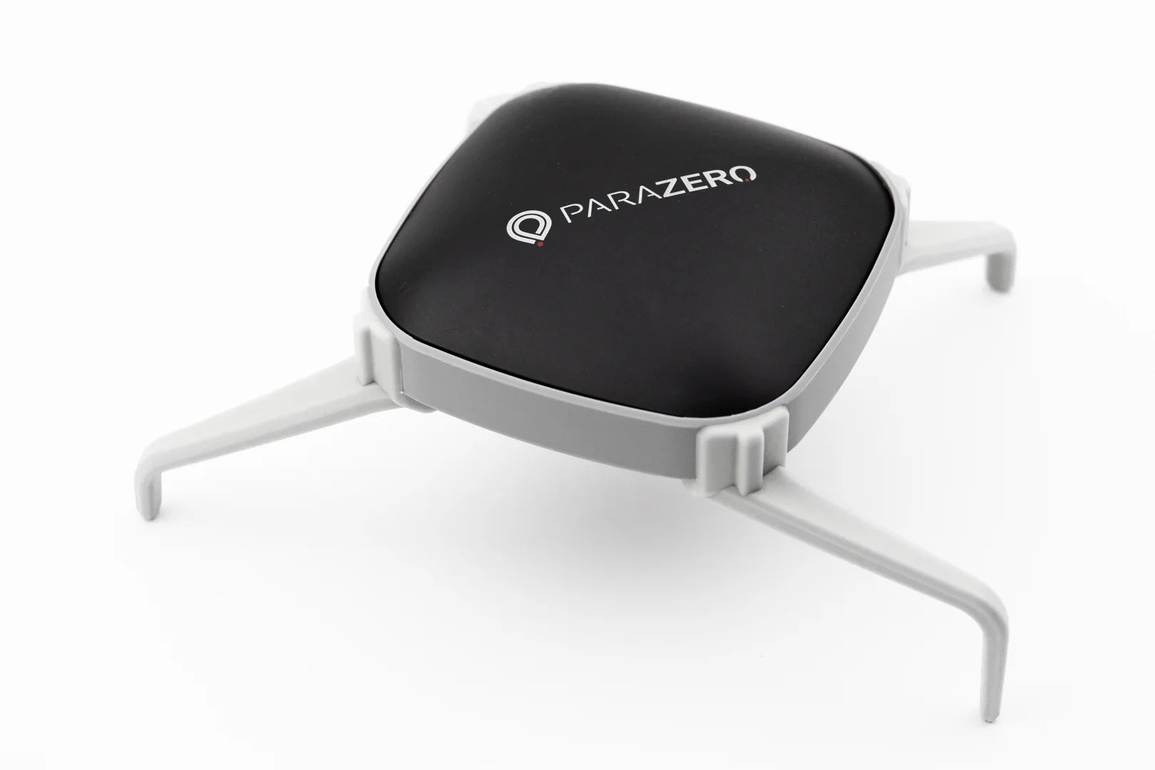
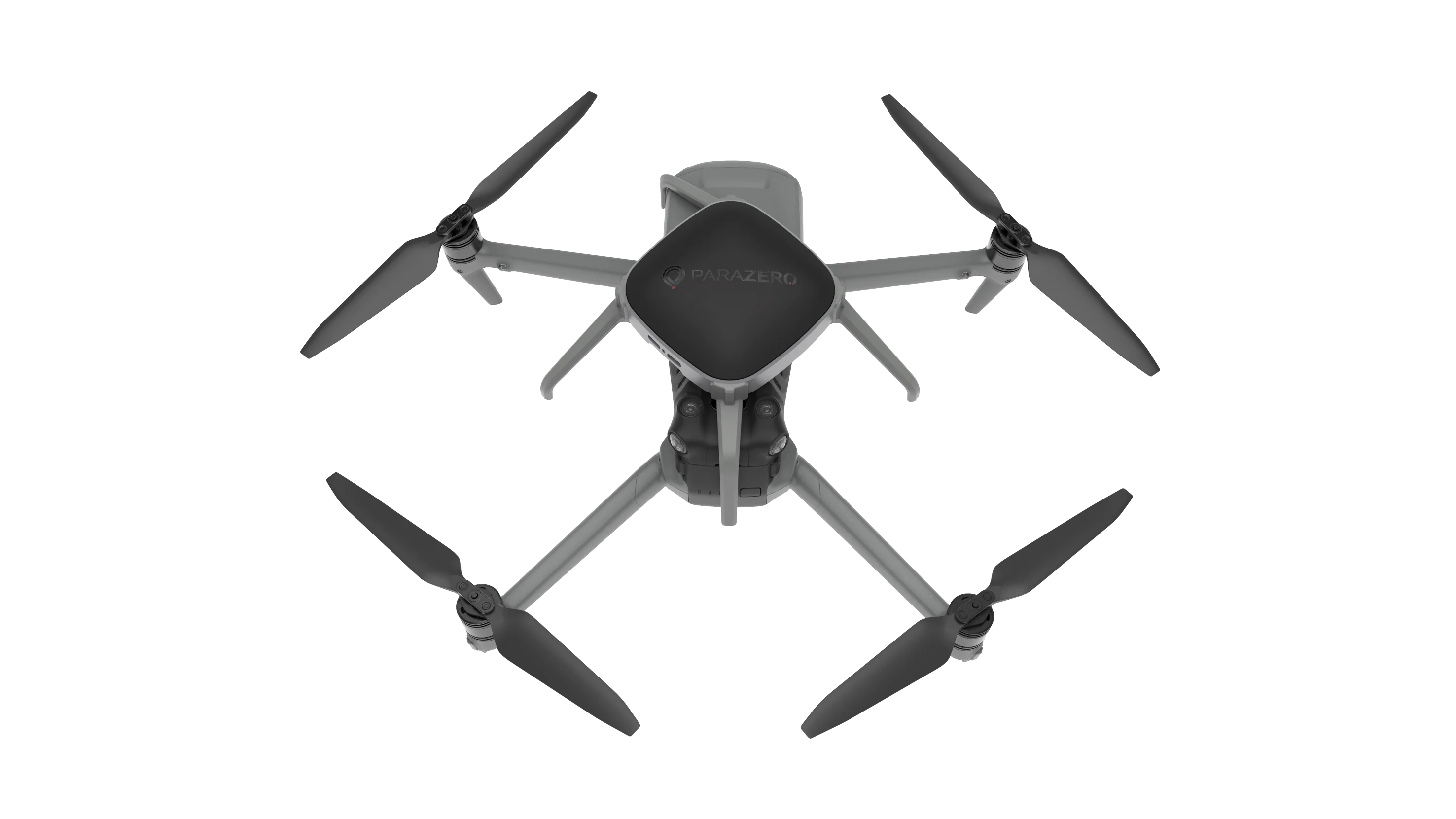
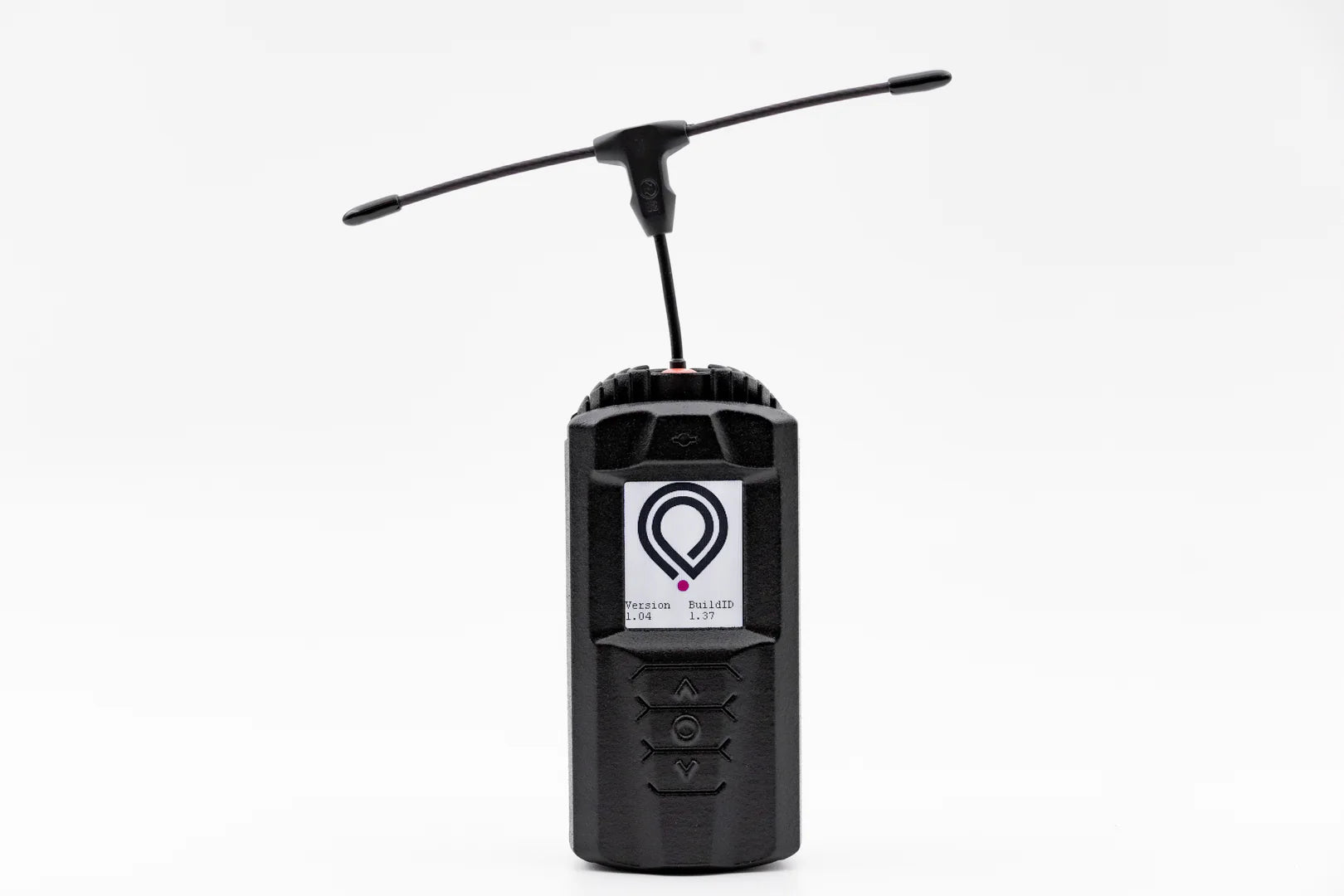
Compliance included
Compatible aircraft
Parachute deployment

On deployment

Maximize Yield. Minimize Labor.
Cover more ground with precision agriculture technology.

JZ U3 Spotlight and Speaker Combo

Speaker output
Spotlight power
Broadcast range
Payload weight
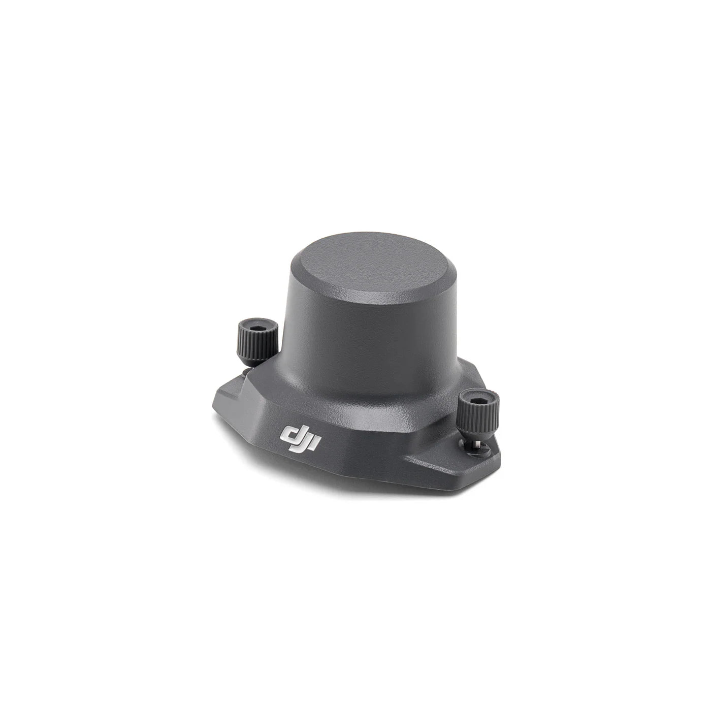
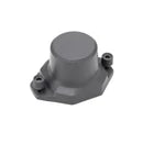
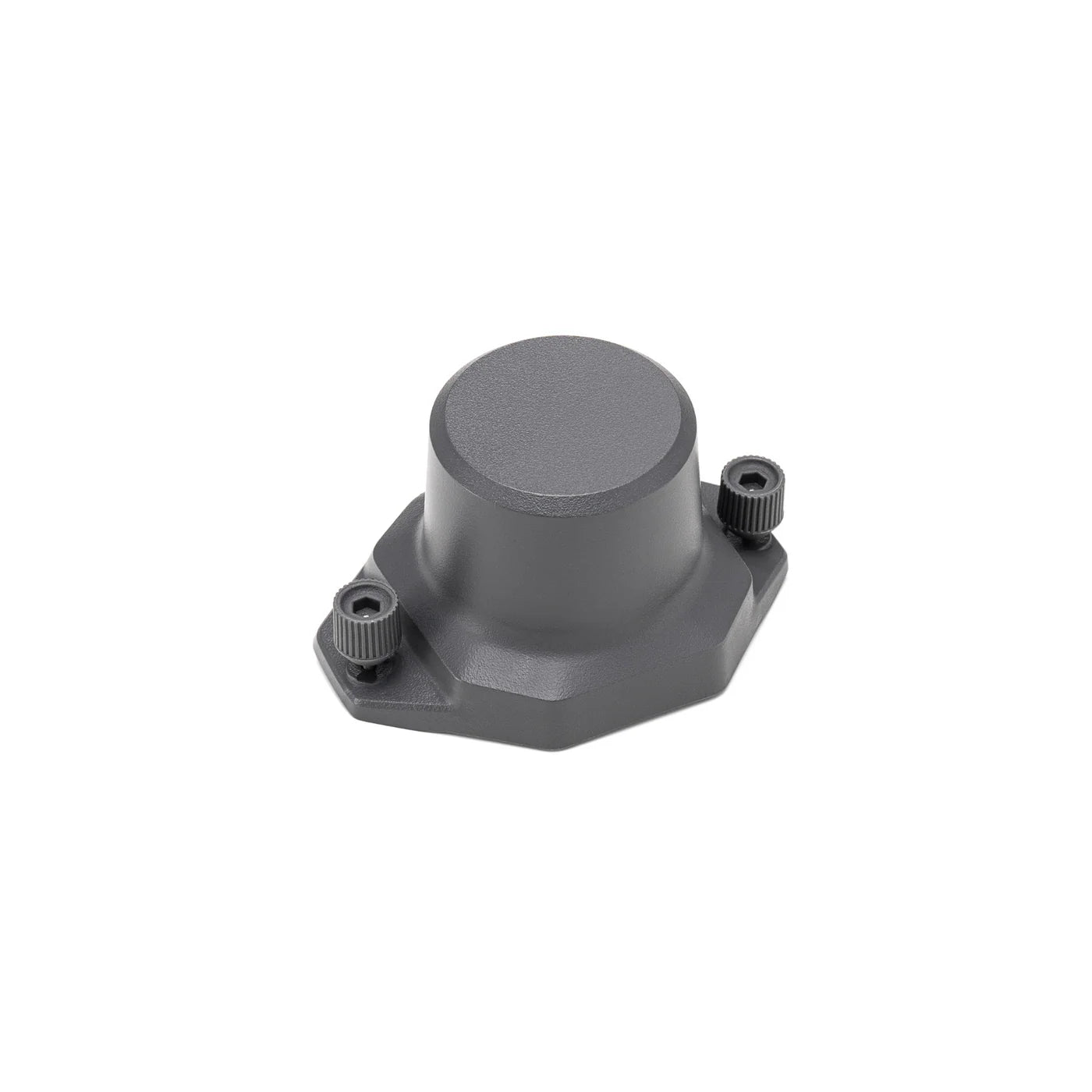
RTK accuracy
GNSS constellations
Base compatibility

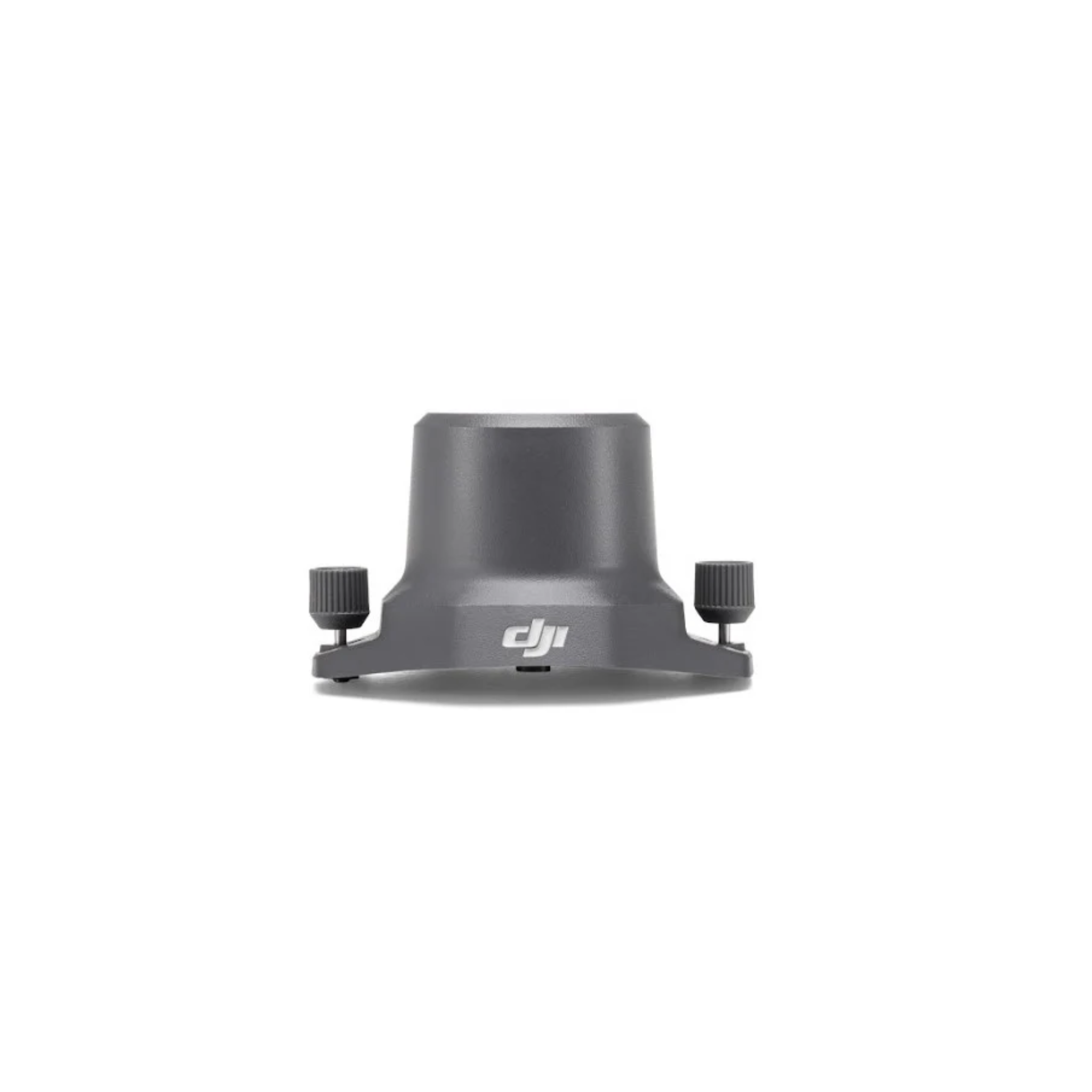
Quick-attach mount


Light output

Effective range
Payload weight

Total power draw
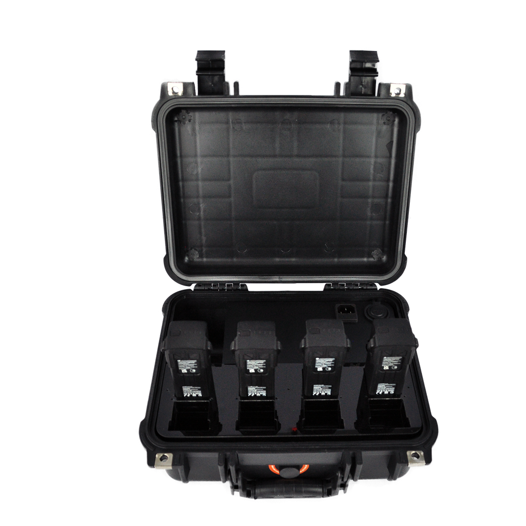
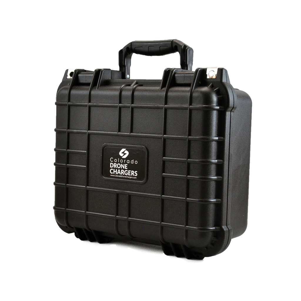
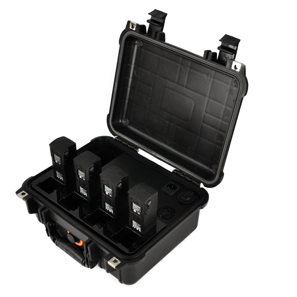
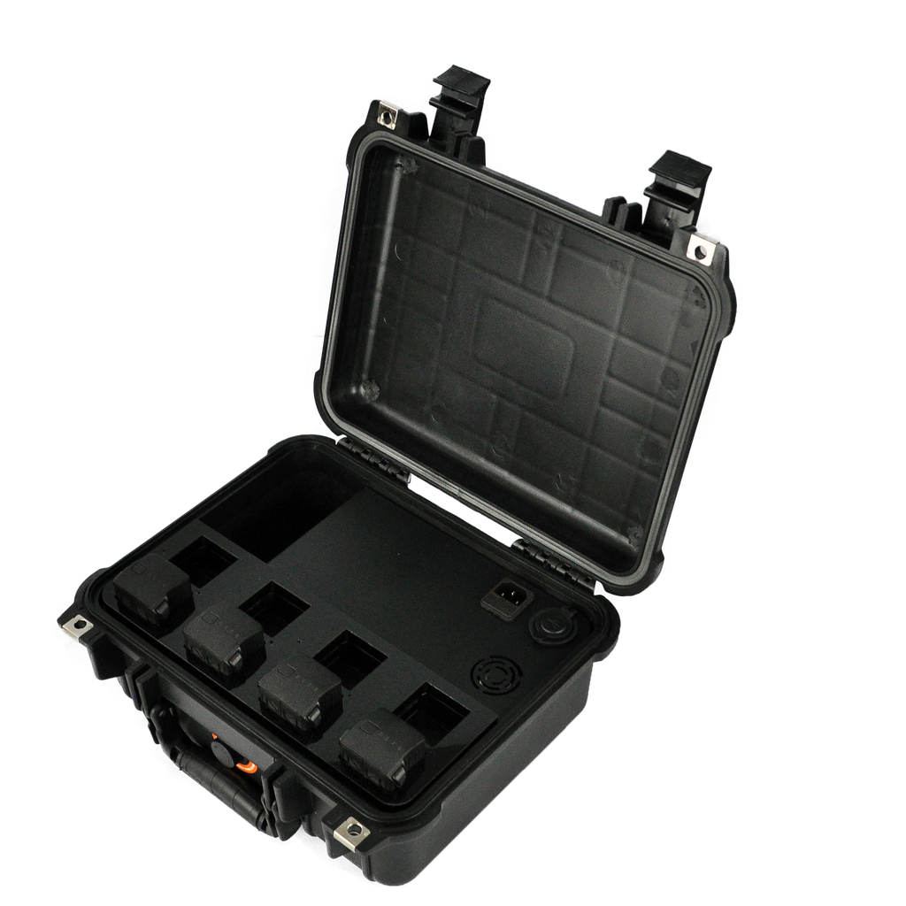
Charged at once
Charge time

Max power rating
Case weight

LED power
Effective range
Payload weight

Ingress rating


Included in kit
Charging hub
Compatible battery model
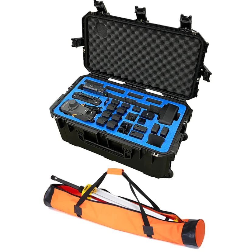


Speaker output
Broadcast range
Payload weight
Ingress rating
Payload weight
Audio capture range
Power draw
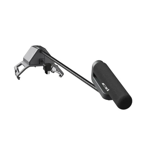
Mic orientation


The DJI Mavic 3 Enterprise series is a compact, foldable enterprise platform in three variants: the M3E for mapping and survey, the M3T ($6,809) for thermal and public safety, and the M3M for precision agriculture. All three share a 45-minute flight time and RTK support. Looking at current-generation alternatives? See the newer DJI Matrice 4 Series.
The DJI Mavic 3 Enterprise series brings enterprise-grade imaging to a drone that fits in a backpack and deploys in under two minutes. Each of the three models is tuned for a different mission, so the right choice depends entirely on the data you need to capture. Global Drone HQ is an authorized DJI Enterprise dealer shipping from the US with full warranty support.
Pick Your PlatformWhich Mavic 3 Enterprise Model Is Right for You?
Mavic 3 Enterprise (M3E): Mapping and Surveying
Best for: surveying, mapping, construction, GIS.
The M3E pairs a 20MP 4/3 CMOS wide camera with a mechanical shutter (no rolling-shutter distortion) and RTK support for centimeter-level positioning, making it a capable, affordable alternative to larger mapping aircraft. For the full mapping platform comparison, see our surveying and mapping drones guide.
Mavic 3 Thermal (M3T): Public Safety and Inspection
Best for: search and rescue, firefighting, utility inspection, security.
The M3T ($6,809) adds a 640x512 radiometric thermal camera and a 56x hybrid zoom alongside a 48MP visual sensor, so teams can detect heat signatures and confirm them at standoff distance. Full details in our DJI Mavic 3 Thermal (M3T) guide, and see how it compares to the newer M4T and Matrice 30T in our three-way thermal comparison.
Mavic 3 Multispectral (M3M): Precision Agriculture
Best for: agriculture, forestry, land management, environmental research.
The M3M carries a 5-camera multispectral array (G/R/RE/NIR + RGB) for NDVI and NDRE crop-health analysis, with RTK accuracy and DJI SmartFarm integration. Learn more in our multispectral drones guide.
Accessories and Mission Payloads
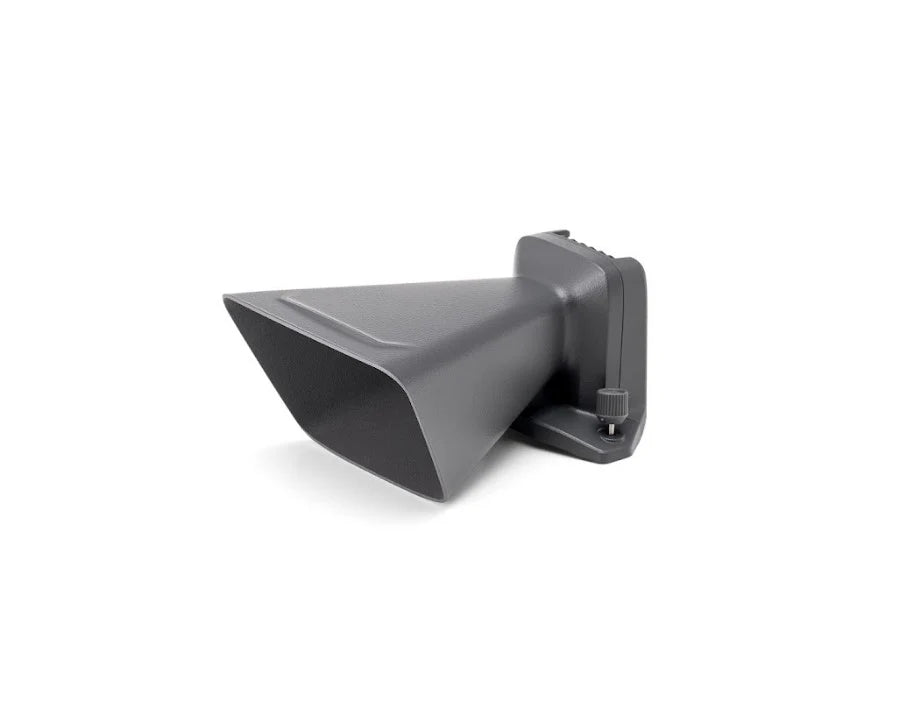
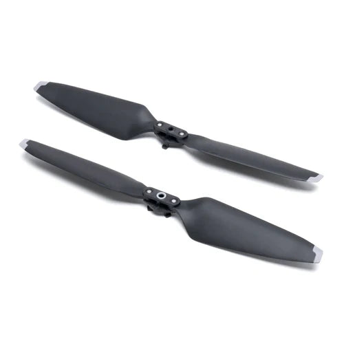
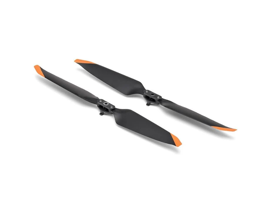
The Mavic 3 Enterprise series supports a deep accessories ecosystem: RTK modules, battery kits, charging hubs, and low-noise propellers, plus third-party CZI and JZ spotlights, speakers, and sound-pickup payloads for public safety and SAR. See our Mavic 3 Enterprise payloads guide for the full compatibility breakdown.
From Flight to DeliverableSoftware and Data Processing
The series integrates with DJI Terra (mapping and photogrammetry), DJI FlightHub 2 (cloud fleet management), DJI SmartFarm (agriculture analytics), and third-party platforms including Pix4D and DroneDeploy. Need help choosing the right model for your mission? Contact our enterprise team for a recommendation.
Learn MoreMavic 3 Enterprise Guides
Mavic 3 Enterprise Questions
What is the difference between the M3E, M3T, and M3M?
The M3E is the mapping and survey model with a 20MP 4/3 CMOS wide camera and mechanical shutter. The M3T is the thermal model with a 640x512 radiometric thermal camera, 56x hybrid zoom, and 48MP visual sensor. The M3M is the agriculture model with a 5-camera multispectral array for NDVI and NDRE crop-health analysis.
How much does the Mavic 3 Thermal (M3T) cost?
The M3T is priced at $6,809 at Global Drone HQ, an authorized DJI Enterprise dealer shipping from the US with full warranty support.
How long can the Mavic 3 Enterprise fly?
All three Mavic 3 Enterprise variants share a 45-minute flight time and support RTK for centimeter-level positioning.
Does the Mavic 3 Enterprise support RTK?
Yes. All three models support RTK via the ecosystem's RTK module, enabling centimeter-level positioning for mapping and survey work.
What software works with the Mavic 3 Enterprise series?
DJI Terra for mapping and photogrammetry, DJI FlightHub 2 for cloud fleet management, DJI SmartFarm for agriculture analytics, plus third-party platforms including Pix4D and DroneDeploy.
Need help choosing?
Tell us your mission and budget and we will spec the right platform and payloads, then send a formal quote. Agency, university, and multi-unit pricing available.
Request a Quote