



At 100 meters

Effective range

Stabilized gimbal

Weather rating



At 1 meter
Broadcast distance
Weather rating

Payload weight



RTK accuracy
Weather rating
Network RTK

GNSS constellations
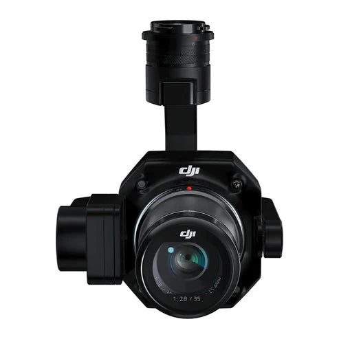
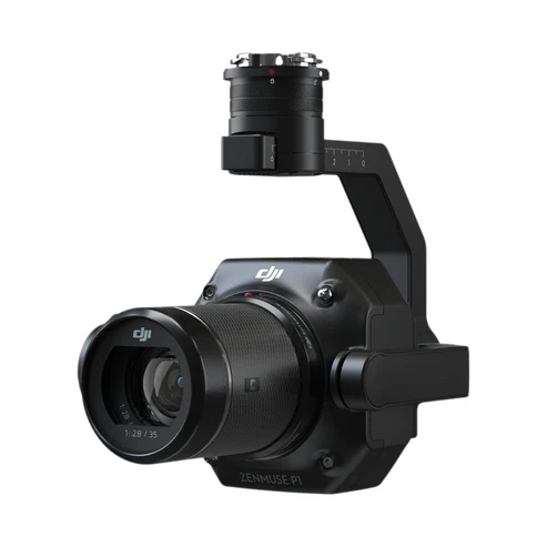
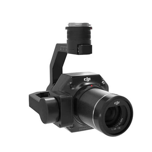
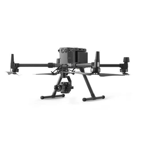
DJI Zenmuse P1 Full-Frame Photogrammetry Camera

Full-frame sensor
Horizontal accuracy

Coverage per flight
Stabilized gimbal
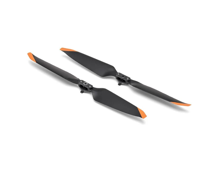


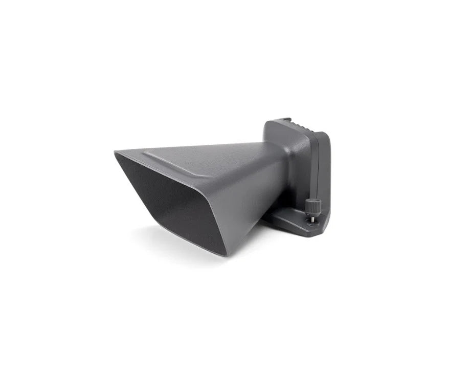

Maximize Yield. Minimize Labor.
Cover more ground with precision agriculture technology.
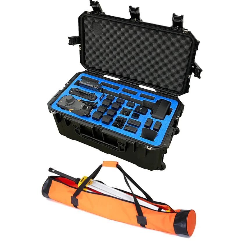
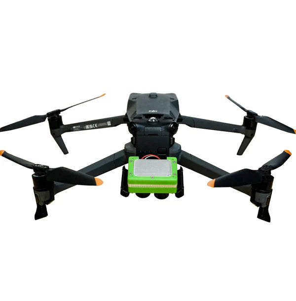
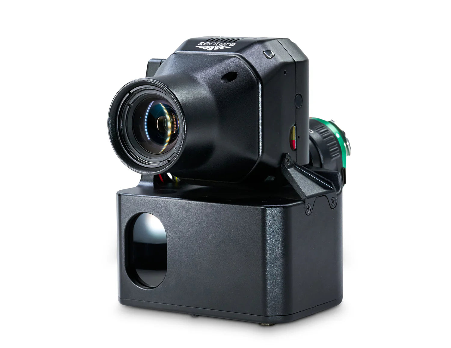
Sensor resolution
Vegetation indices

Host aircraft

Analytics platform



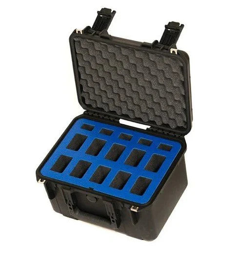
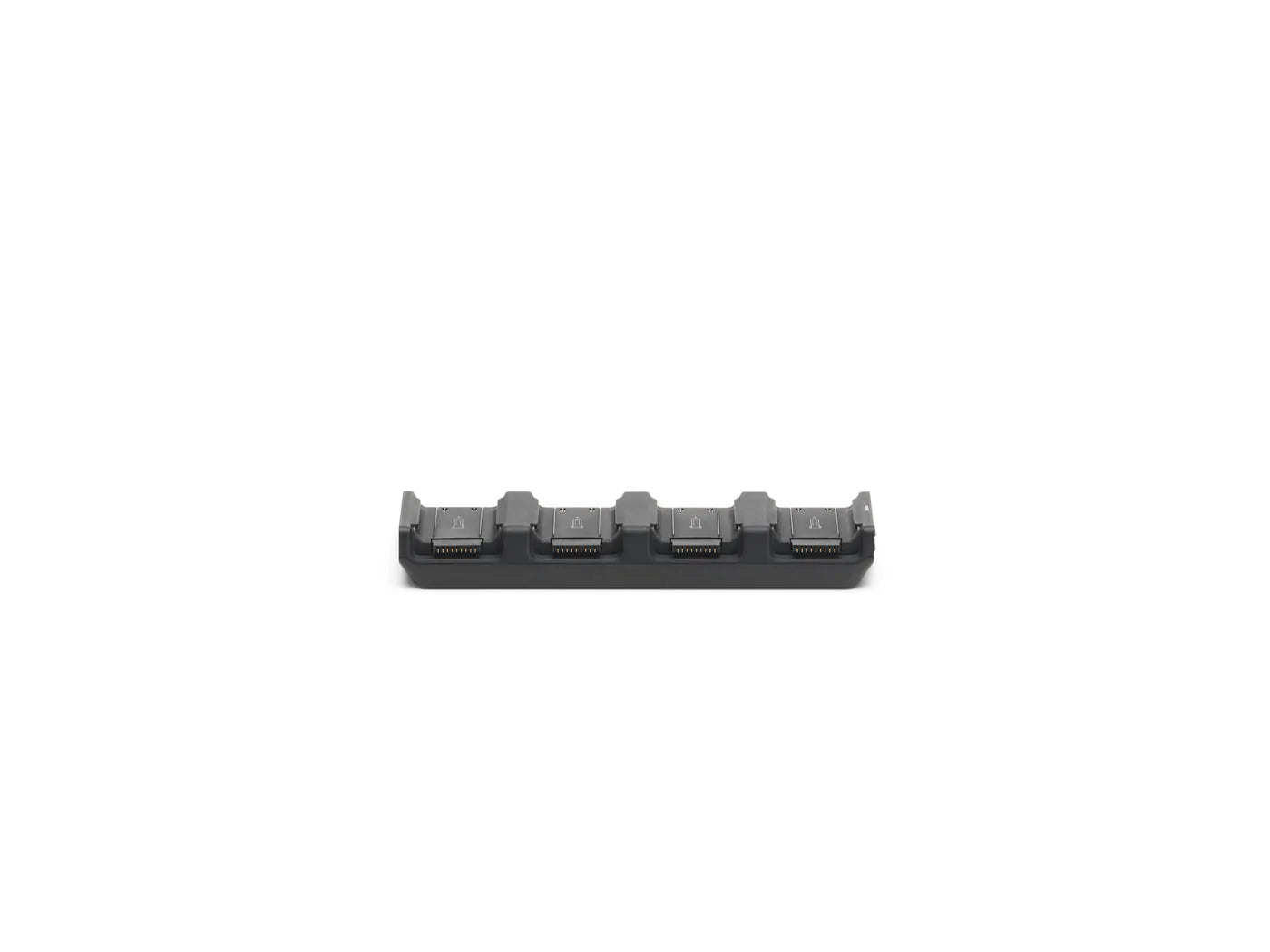
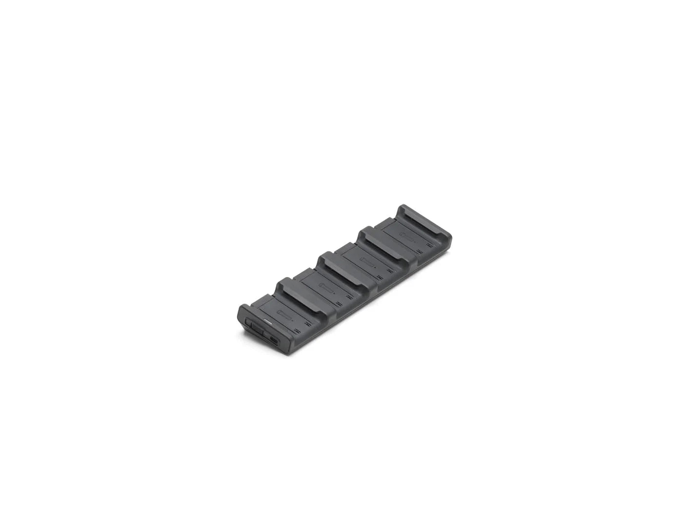
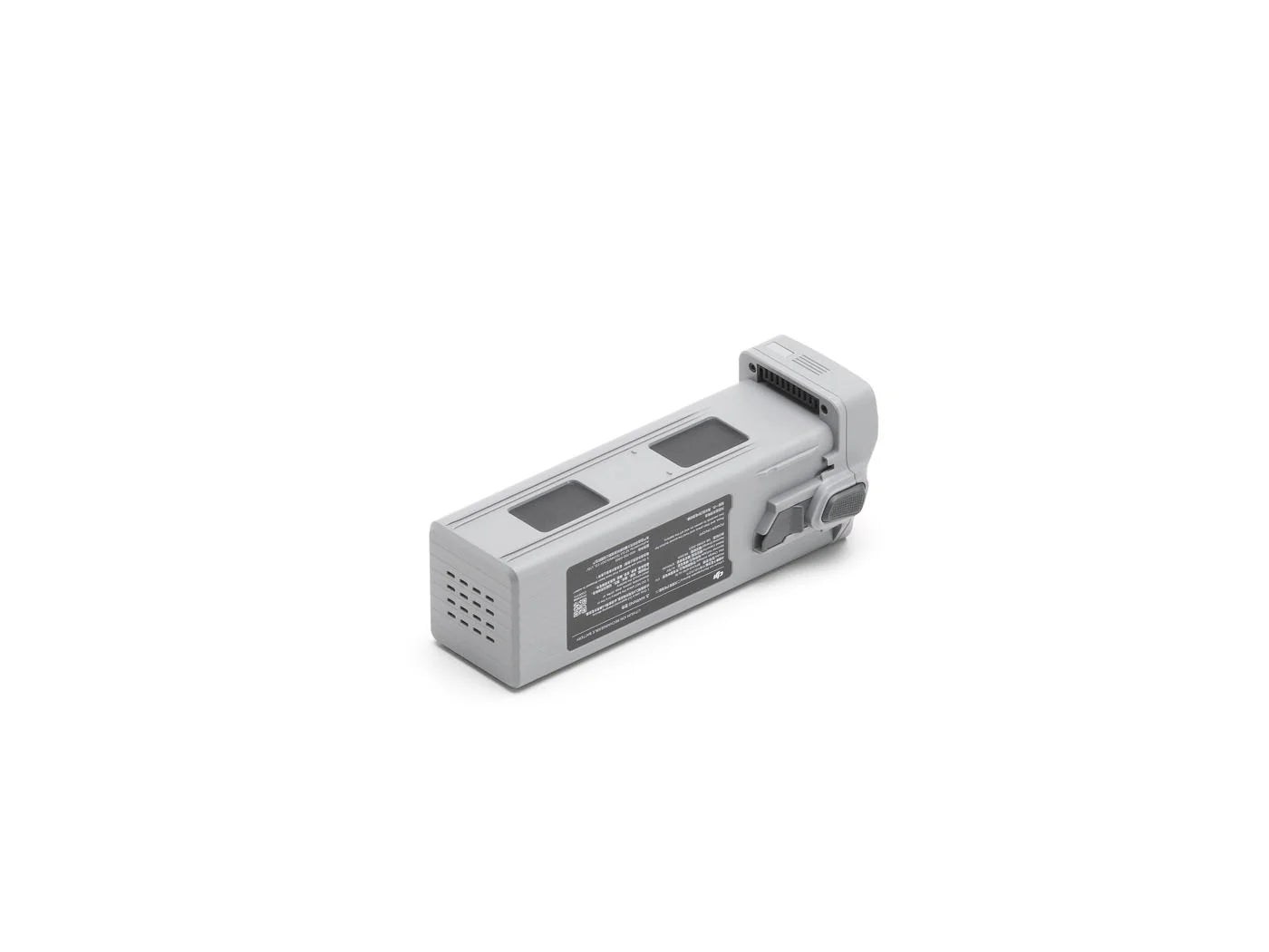
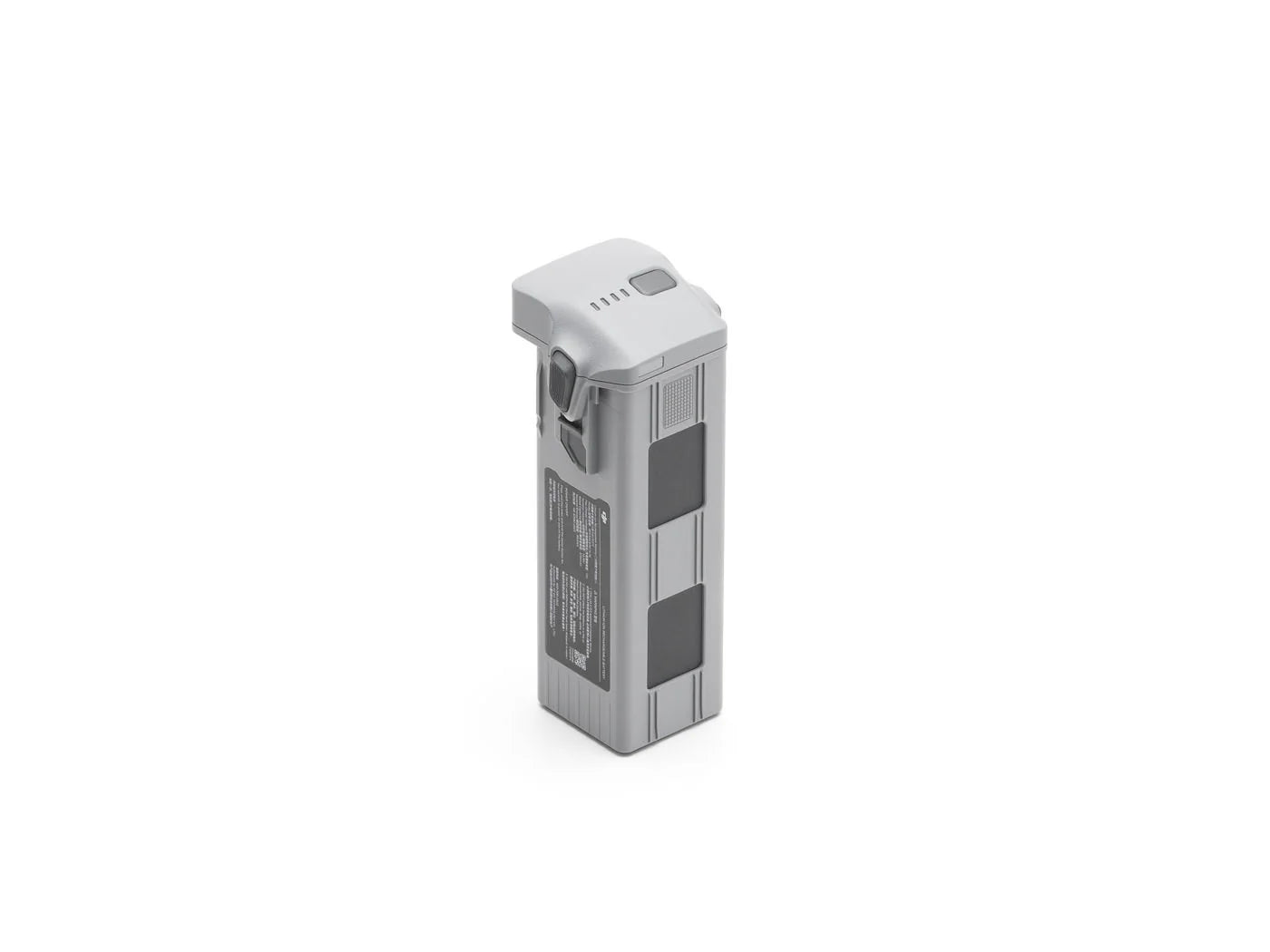
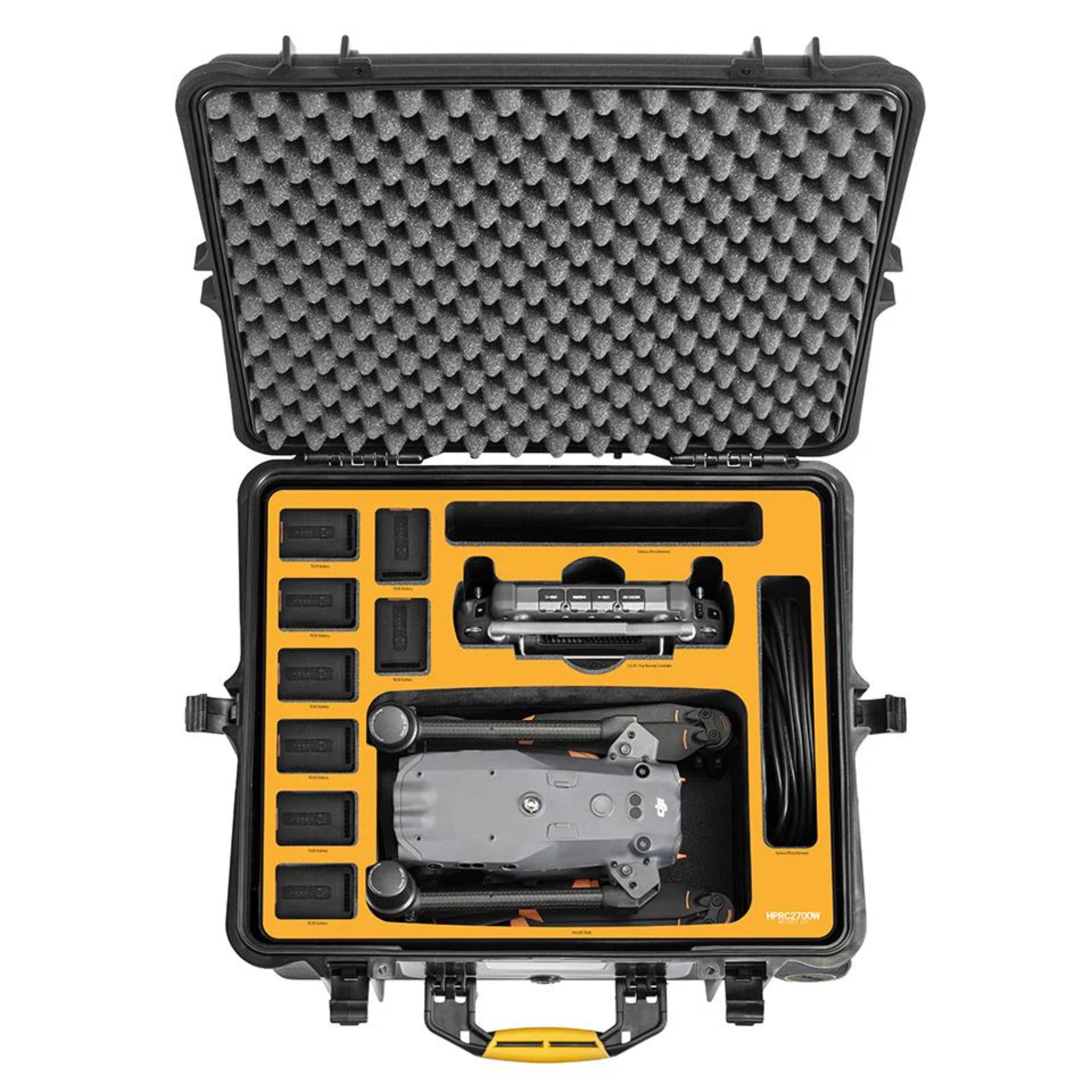
TB30 batteries held

20-90% charge
RC Plus batteries
Ground sample distance
GPS georeferencing
Images per job
Flight time



LiDAR per pulse
LiDAR point rate

Detection range
4/3 CMOS RGB


Max flight time
Centimeter accuracy
Dual tele cameras
Laser rangefinder



Charge cycles

Fast turnarounds
Cold weather ready