



Max flight time

Centimeter accuracy

Dual tele cameras

Laser rangefinder

Thermal resolution

Zoom camera

Video transmission

Obstacle avoidance


Max flight time

Weather resistance

Simultaneous payload support

TB65 batteries


Max flight time
Hybrid zoom range
4/3 CMOS camera
O3 transmission range
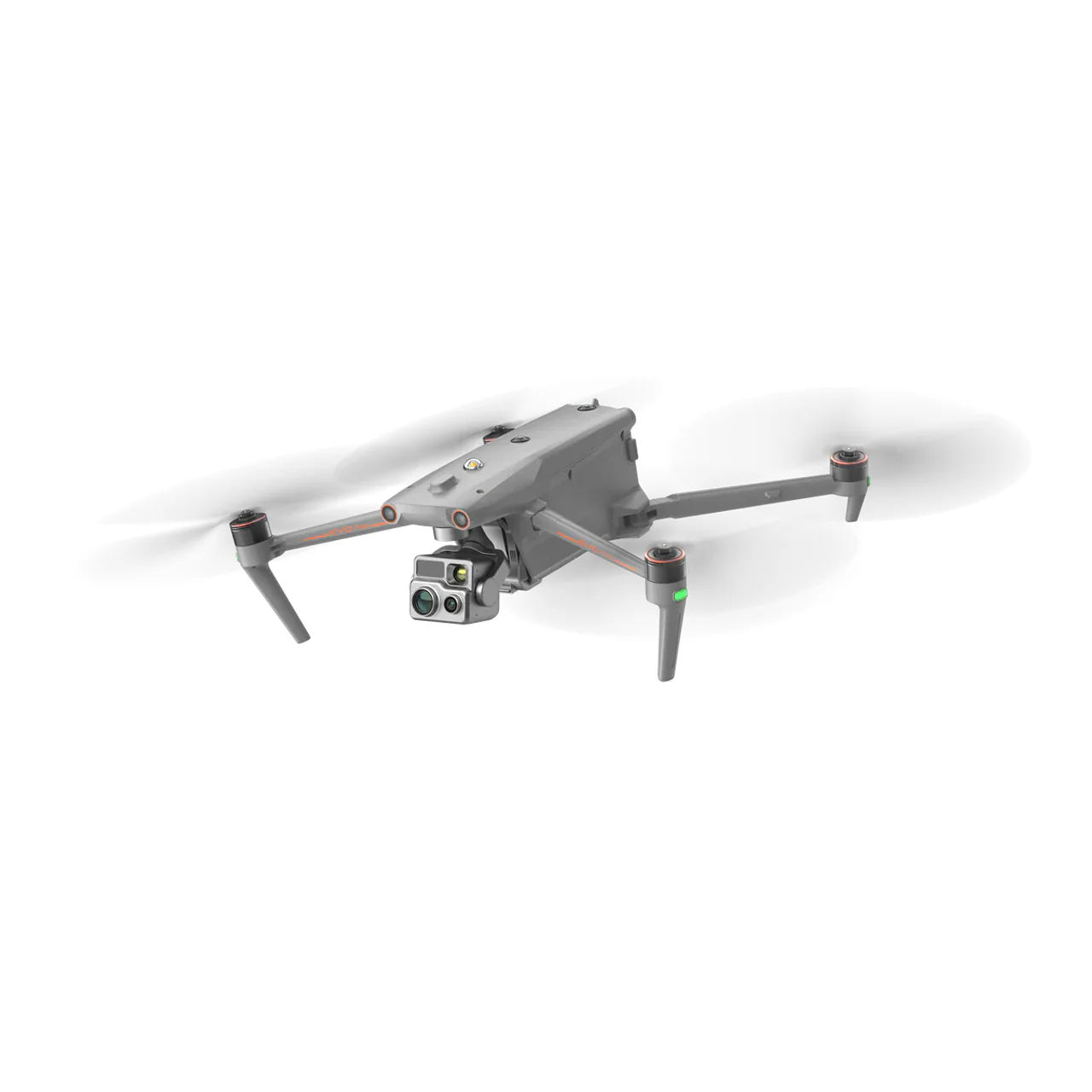
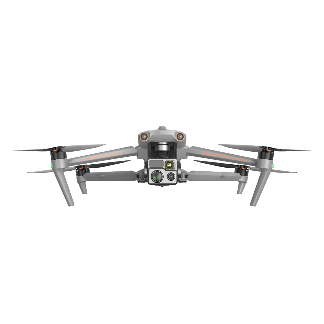
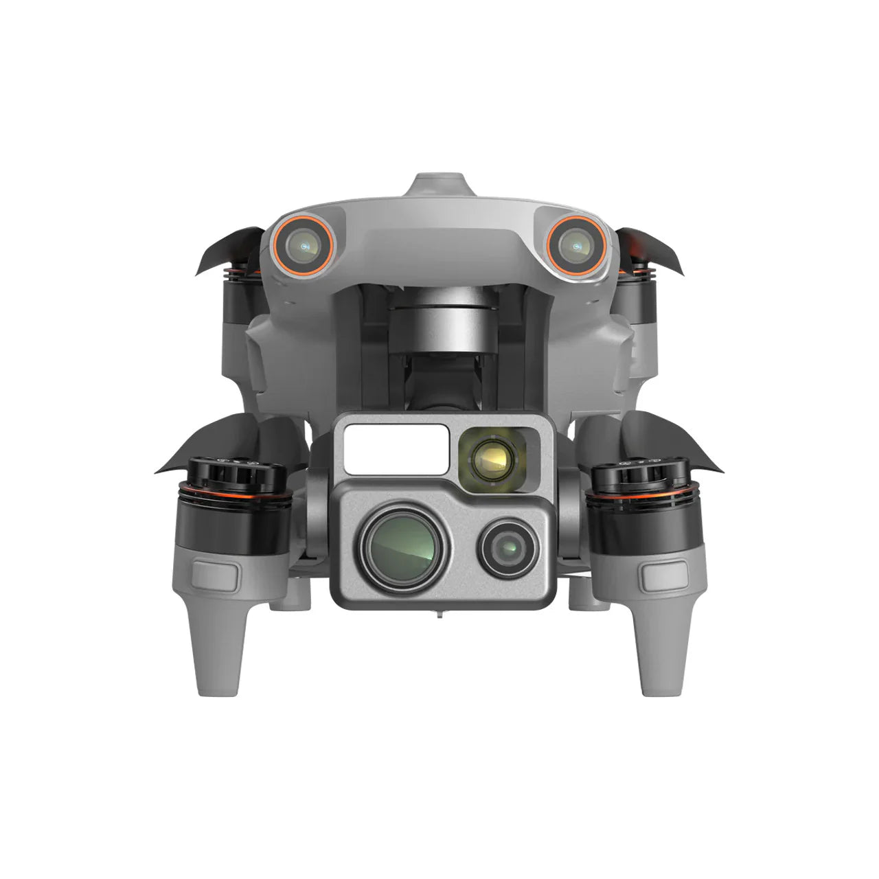
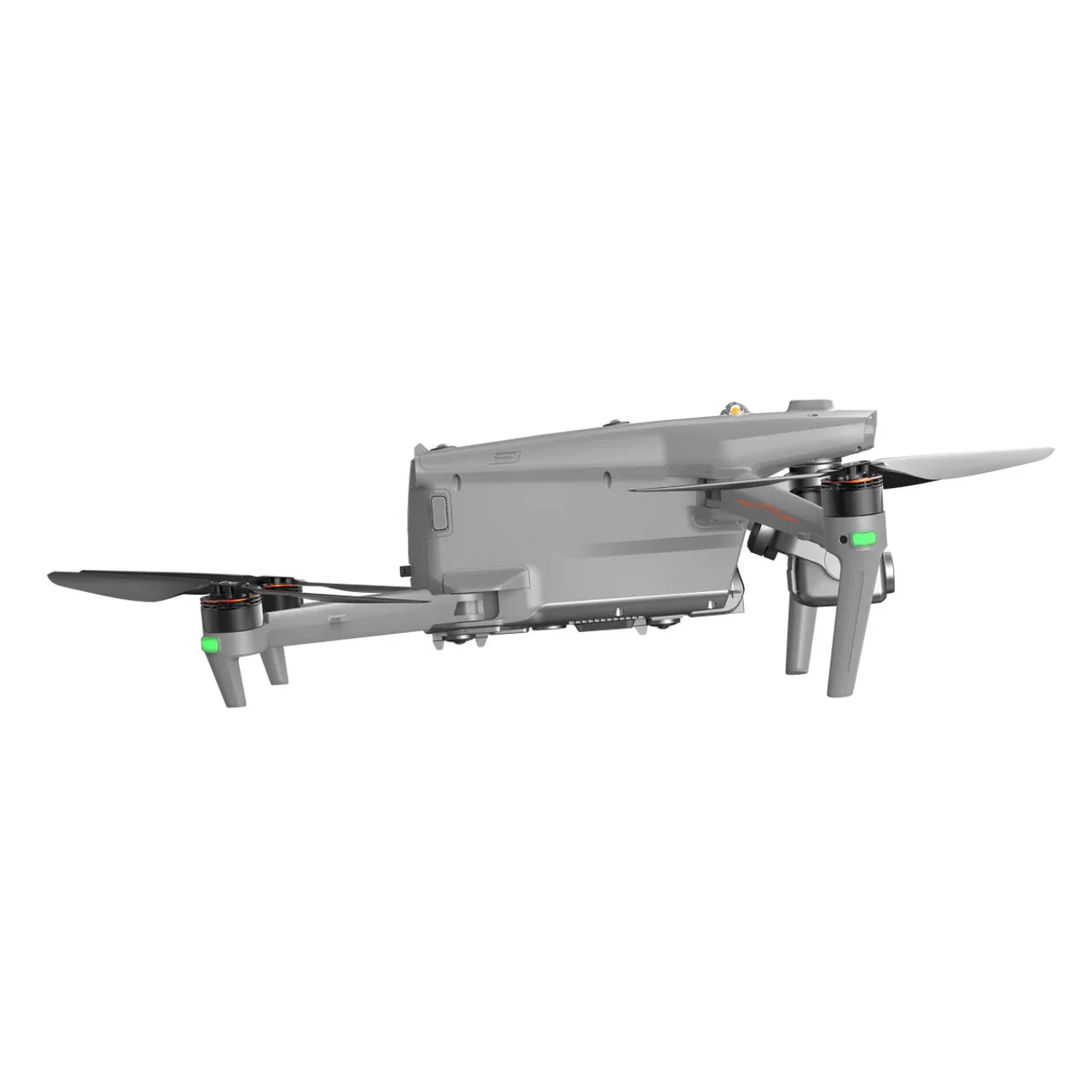
Max flight time
Thermal resolution
48MP zoom camera
Transmission range
Construction sites generate enormous amounts of data that, when captured consistently from the air, enable better project management, faster problem detection, and more accurate progress reporting. Drone technology has moved from a novelty to a standard tool on commercial construction projects — used by project managers, surveyors, BIM coordinators, and site inspectors to get actionable aerial intelligence at every phase of construction.
Construction Drone Applications
From earthwork and grading through structural framing, roofing, and final inspection, drones provide a repeatable aerial perspective that ground-based documentation simply cannot match. Common construction drone use cases include:
- Weekly progress documentation and owner reporting
- Volumetric stockpile measurement and cut/fill calculation
- Orthomosaic overlay with design drawings (BIM overlay)
- Roof and facade inspection
- Safety compliance monitoring
- As-built verification vs. design models
Recommended Platforms for Construction
The DJI Matrice 4E is purpose-built for construction mapping — its 45-min flight time, RTK GPS, and Zenmuse P1 compatibility make it the preferred platform for large-site photogrammetry and volumetric analysis. For teams needing thermal capabilities alongside mapping, the DJI Matrice 4 Thermal provides a complete dual-sensor solution for detecting moisture intrusion in roofing and facades. For rapid aerial photography and stakeholder progress updates, the DJI Mavic 3 Enterprise provides a compact, cost-effective alternative.
Software Integration
Our construction drone platforms integrate with leading construction technology ecosystems including Procore, Autodesk Construction Cloud, DroneDeploy, Pix4D, and DJI Terra — enabling teams to move from flight to deliverable without breaking workflow.
Need help building your construction drone program?
Talk to a Specialist →