



Imaging bands

Stabilized payload

Compatible aircraft

Mount interface
Spectral bands

Panchromatic output
Vegetation indices
Compatible aircraft
Spectral bands
Pan-sharpened resolution
RGB output

Payload weight
Spectral bands
Panchromatic RGB
GSD at 60 m
Capture rate
Spectral bands
Radiometric imager
High-res band
Shutter type
Integrated sensors
Discrete spectral bands
Thermal imager
Ultra-high-res band
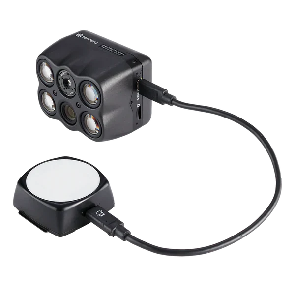
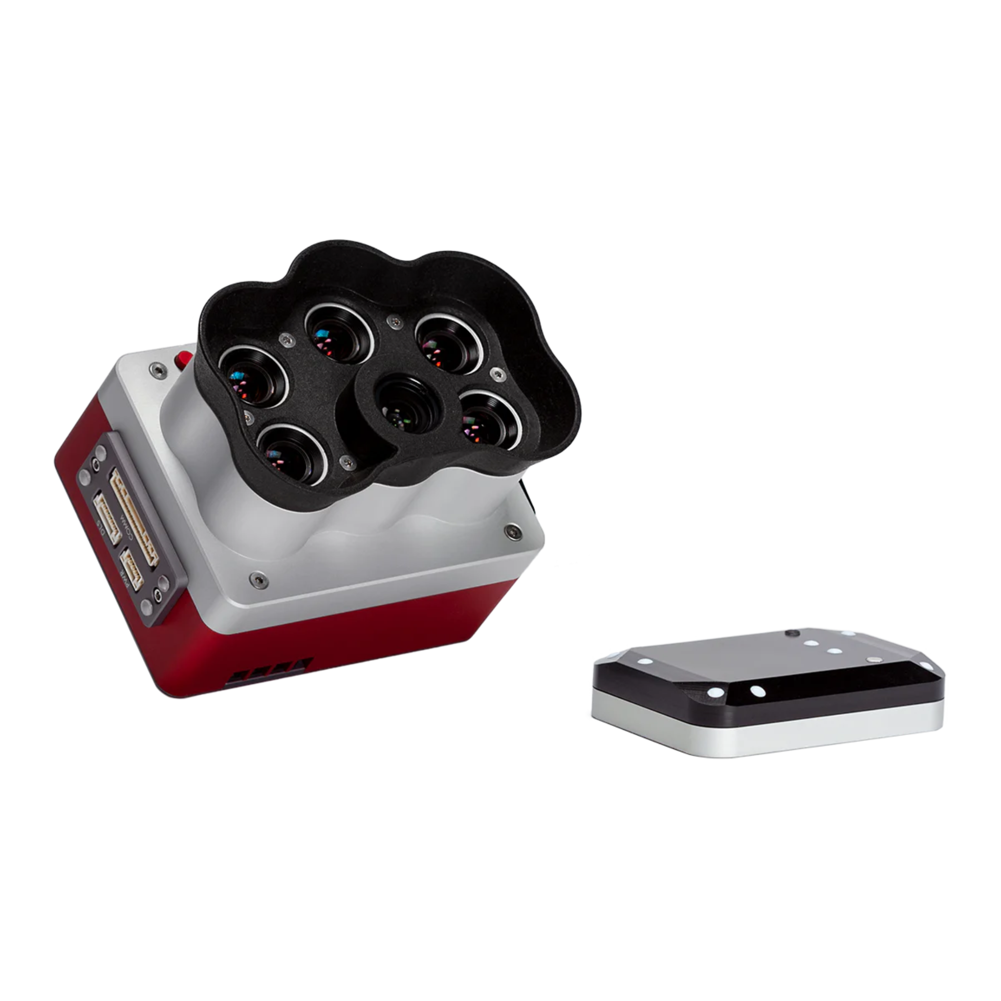
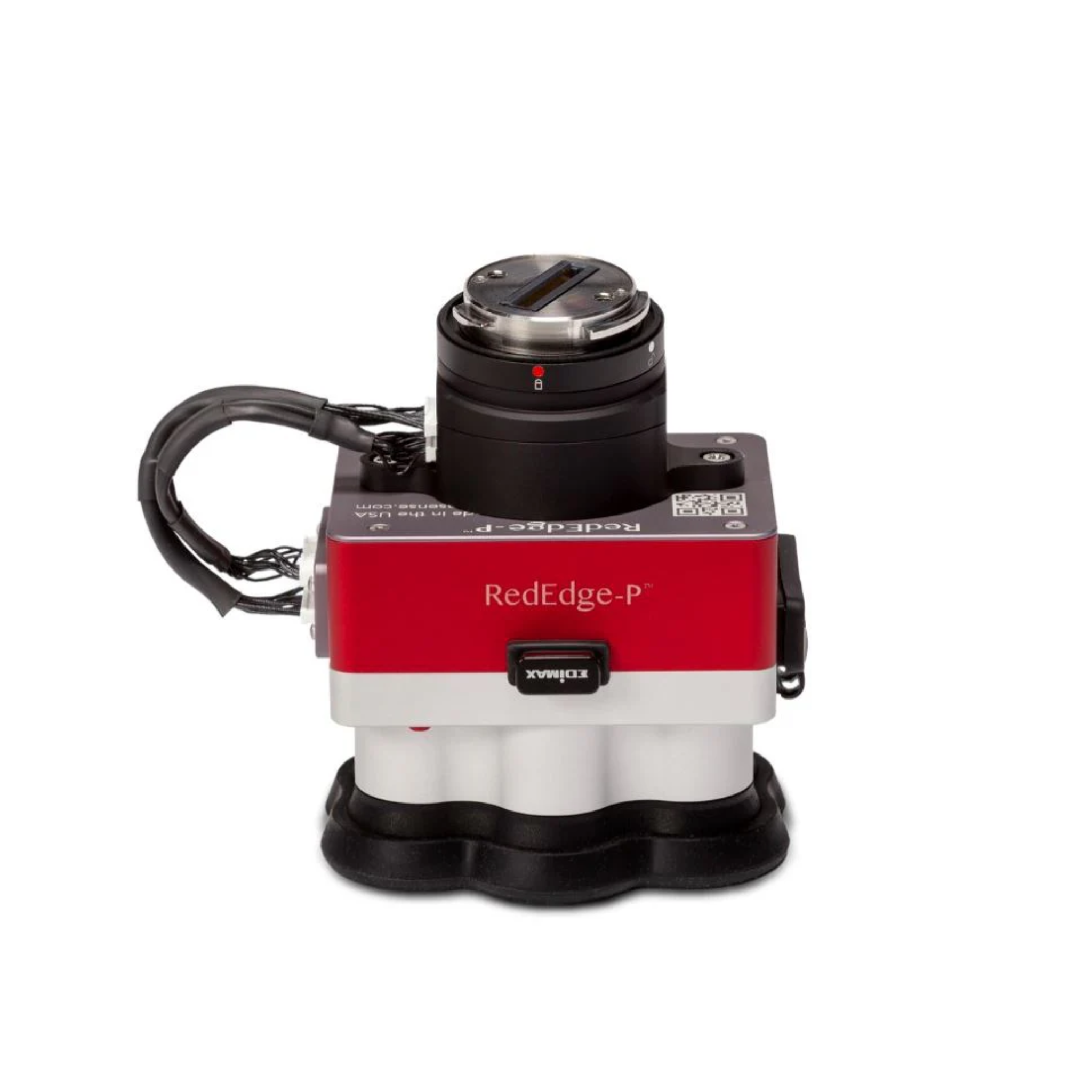
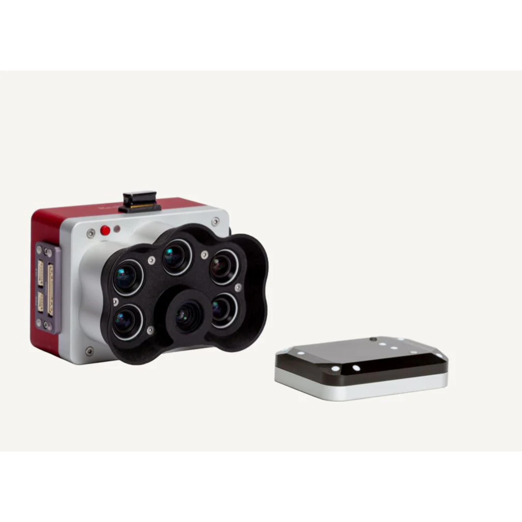
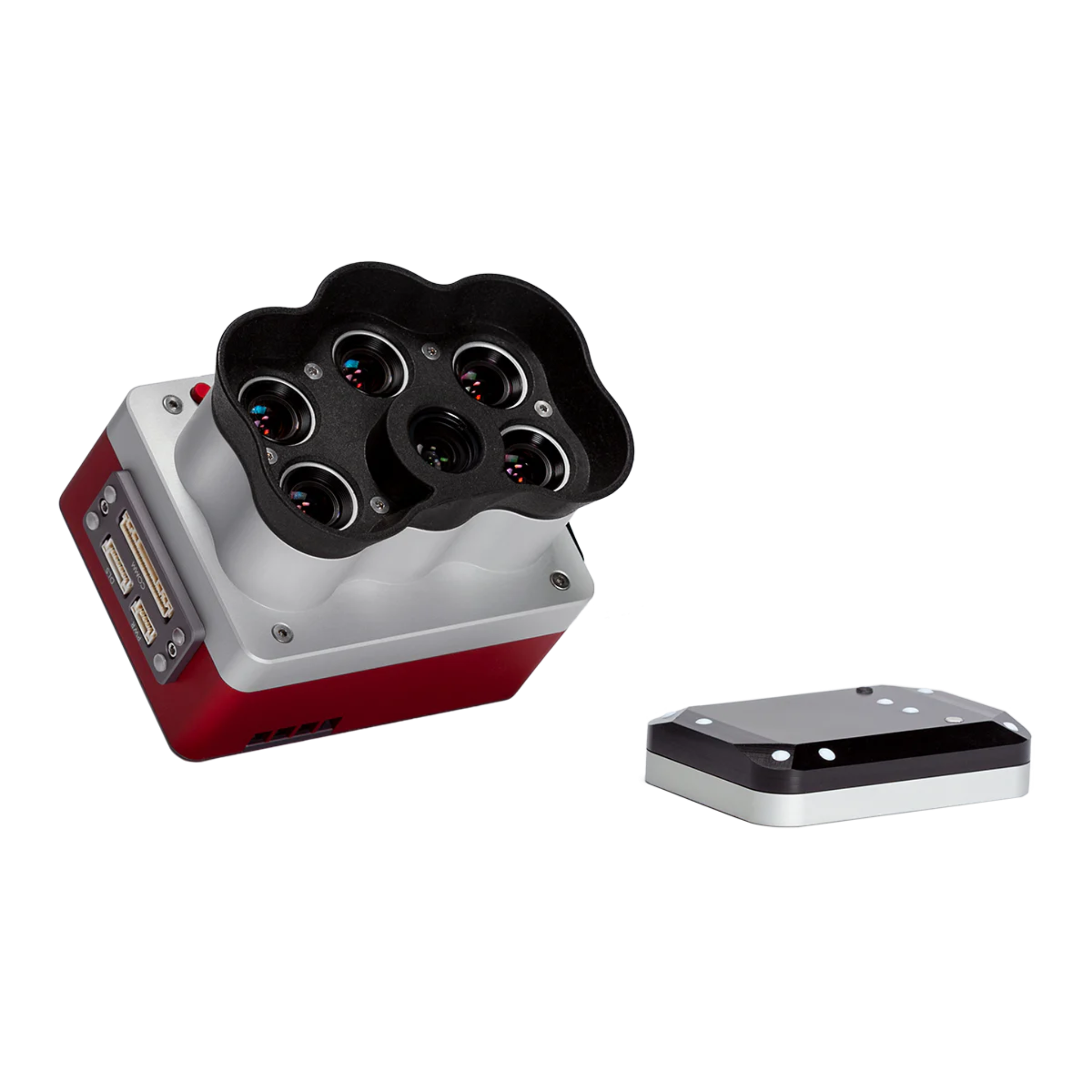
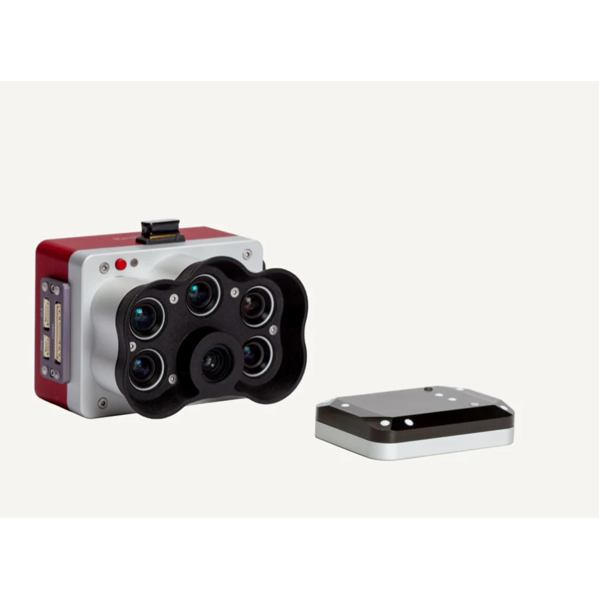
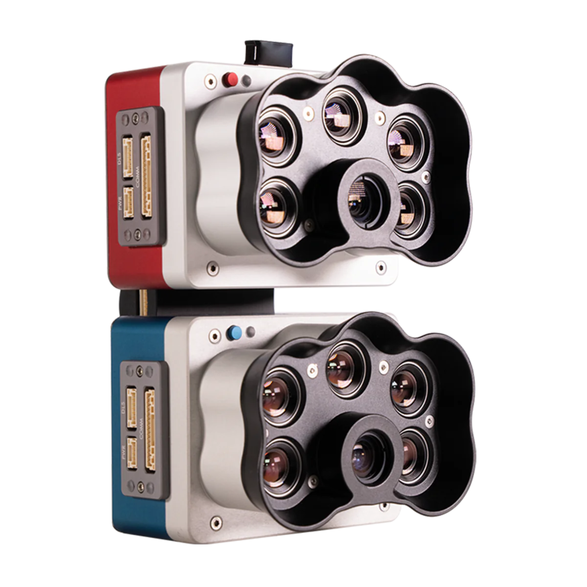
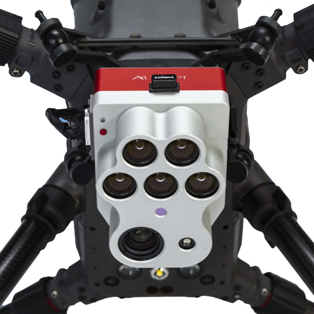
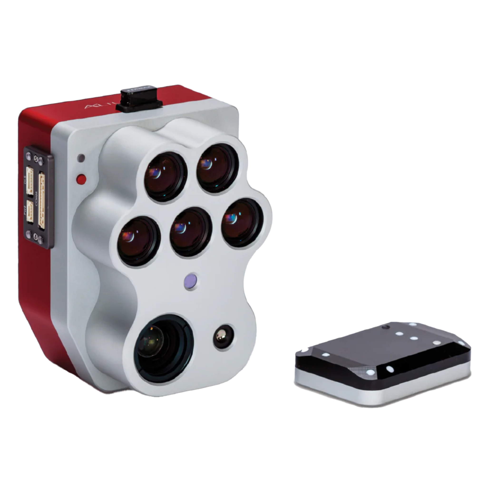
Measure crop health with precision using multispectral cameras and sensors designed for drone-based vegetation analysis. This collection includes MicaSense RedEdge-P and Altum-PT systems that capture calibrated reflectance data across visible and near-infrared bands, enabling accurate NDVI, NDRE, and chlorophyll index maps. Ideal for agronomists, crop consultants, precision agriculture service providers, and researchers who need actionable field data to guide variable-rate applications and improve yield outcomes. Compatible with leading enterprise drone platforms.