


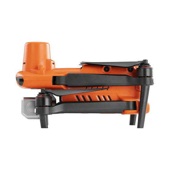
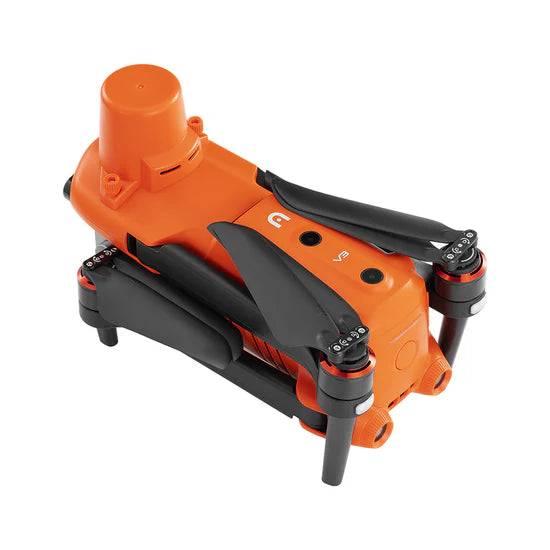
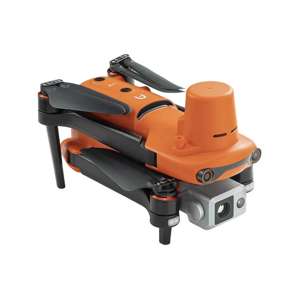
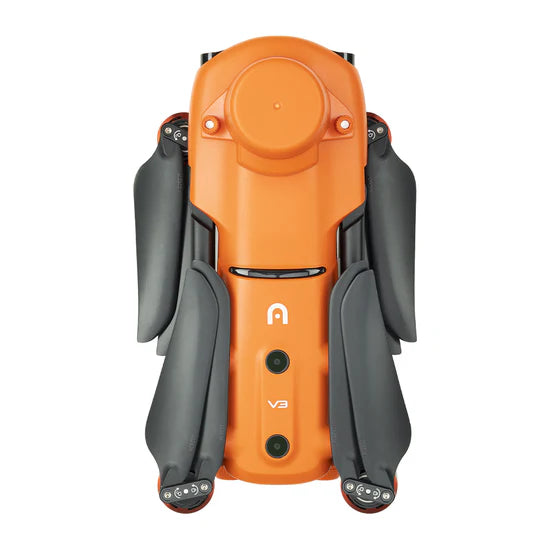
Autel Robotics EVO II Dual 640T RTK V3 Rugged Bundle Drone
The Only Thermal RTK Drone at This Price Point
Georeferenced thermal mapping typically requires two separate missions: a thermal flight with a lower-accuracy drone, followed by a visual flight with an RTK platform. The EVO II Dual 640T RTK eliminates that redundancy. One aircraft, one flight, one dataset — with centimeter-level coordinates attached to every thermal frame.
The 640×512 radiometric sensor records actual temperatures per pixel, not just relative heat signatures. This means post-flight analysis in tools like FLIR Thermal Studio or Agisoft Metashape can produce quantitative thermal maps with GPS coordinates accurate to 1cm horizontally. For solar farm thermography, pipeline leak surveys, or substation inspection, that precision changes what's operationally possible.
Level 8 wind resistance (39 mph) is a practical advantage in the open terrain where most thermal surveys happen: solar farms, pipelines, transmission corridors, and offshore wind infrastructure — all exposed environments where afternoon wind speeds routinely exceed the Level 5 rating of competing platforms.
Full Specifications
| Spec | EVO II Dual 640T RTK V3 |
|---|---|
| Price | $5,799 |
| Flight Time | Up to 36 minutes |
| Thermal Sensor | 640×512 · Radiometric · 30Hz · 10 color palettes |
| Visual Camera | 50MP RYYB sensor · 4K HDR video |
| Display Mode | Full thermal · Full visual · Picture-in-Picture |
| RTK Accuracy (H) | 1cm + 1 ppm |
| RTK Accuracy (V) | 1.5cm + 1 ppm |
| Positioning Modes | RTK (real-time) · PPK (post-processing) |
| Wind Resistance | Level 8 (39 mph / 17.5 m/s) |
| Obstacle Avoidance | 360° · 19 sensors |
| Transmission Range | 9.3 miles (15km) · SkyLink 2.0 |
| Controller | Smart Controller V3 · 7.9" · 2000-nit touchscreen |
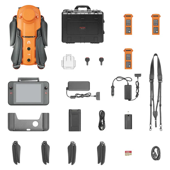
| Bundle | Rugged hard case · 2× batteries · RTK module · 32GB SD |
| Geofencing | None |
Top Use Cases
Solar Farm Thermography & Georeferenced Fault Mapping
A typical 1MW solar farm has 3,000–4,000 panels. Detecting faulty cells requires thermal imaging. Precisely locating them for maintenance crews requires GPS coordinates. The Dual 640T RTK delivers both in one flight — radiometric thermal data with RTK-accurate georeferencing that maintenance crews can import directly into their CMMS.
Pipeline & Infrastructure Leak Detection
The 50MP visual + 640×512 thermal combination is optimized for pipeline corridors: thermal spots hot joints and corrosion through insulation, while RTK coordinates each anomaly to within 1cm for maintenance dispatching. PPK mode is valuable for remote pipeline routes without cellular network RTK coverage.
Industrial Facility & Substation Inspection
Level 8 wind resistance handles the turbulent air flows common around large industrial facilities and elevated substations. PiP mode lets inspectors see both the thermal anomaly and its structural context simultaneously during the inspection pass.
Frequently Asked Questions
How is georeferenced thermal mapping useful compared to standard thermal inspection?
Standard thermal inspection identifies where a problem exists on-screen. Georeferenced thermal mapping records the precise GPS coordinates (to 1cm) of each anomaly — enabling maintenance teams to locate it in the field without re-flying, import it into GIS systems, and track it longitudinally across quarterly inspections.
Can this drone produce thermal orthomosaics?
Yes. With a compatible mapping software (Pix4DMapper with thermal extension, Agisoft Metashape, DroneDeploy thermal) the RTK-tagged thermal imagery can be processed into a full thermal orthomosaic of the inspected area with calibrated temperature values per pixel.
What's the difference between RTK and PPK mode?
RTK corrects GPS in real-time via a base station or NTRIP network connection. PPK logs raw GNSS observations and applies corrections post-flight — useful in remote areas without cellular connectivity. Both achieve equivalent accuracy; choose PPK when network RTK isn't available in the field.
Does the thermal sensor record actual temperatures?
Yes. The 640×512 sensor is radiometric — every pixel records an actual temperature value, not just relative heat. Data is saved in RJPEG format for quantitative post-processing.
Enterprise pricing, payment terms and bulk orders, talk to a drone specialist.
Pairs well with
Ships from the United States. Contact us for current lead time.

Radiometric thermal

RTK accuracy

Visual camera

Max flight time

Transmission range
Autel Robotics EVO II Dual 640T RTK V3 Rugged Bundle Drone
If you have any questions, you are always welcome to contact us. We'll get back to you as soon as possible, within 24 hours on weekdays.
-
Shipping Information
We ship enterprise and commercial drone equipment across the United States. Contact us for current lead time. Certain enterprise, custom, and built-to-order items (such as portable rapid chargers) require additional lead time, which is confirmed at the time of order. You will receive tracking by email once your order ships. For expedited shipping, freight, or international inquiries, contact support@globaldronehq.com.
-
Customer Support
Our team helps you choose the right platform and get the most out of it. For product questions, order status, warranty claims, or technical support, reach us at support@globaldronehq.com or (858) 906-5185, Monday through Friday. As an authorized dealer for leading drone, sensor, and field-equipment brands, we help match the right solution to your mission, whether you fly for public safety, mapping, agriculture, inspection, or industrial operations.
-
FAQ’s
Are you an authorized dealer? Yes. We are an authorized dealer for the brands we carry, so your equipment includes full manufacturer warranty and support.
Do you offer quotes and purchase orders? Yes. We work with government, public safety, and commercial customers. Email support@globaldronehq.com with your requirements for a formal quote.
What payment methods do you accept? We accept major credit cards and, for approved business and agency orders, ACH or wire transfer.
How long will my order take? Contact us for current lead time. Built-to-order items have lead times confirmed at the time of order.
-
Contact Us
Global Drone HQ
Email:support@globaldronehq.com
Phone: (858) 906-5185
Hours: Monday through Friday
For sales quotes, purchase orders, and dealer or agency inquiries, email us and a specialist will respond promptly. We welcome RFQs from government, public safety, and commercial customers.