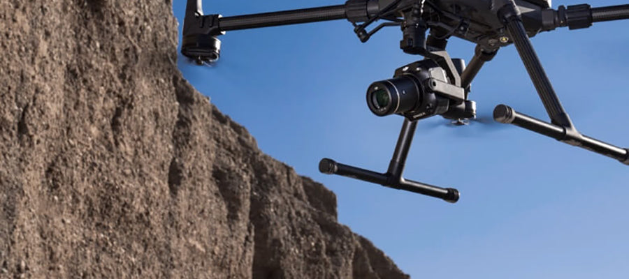
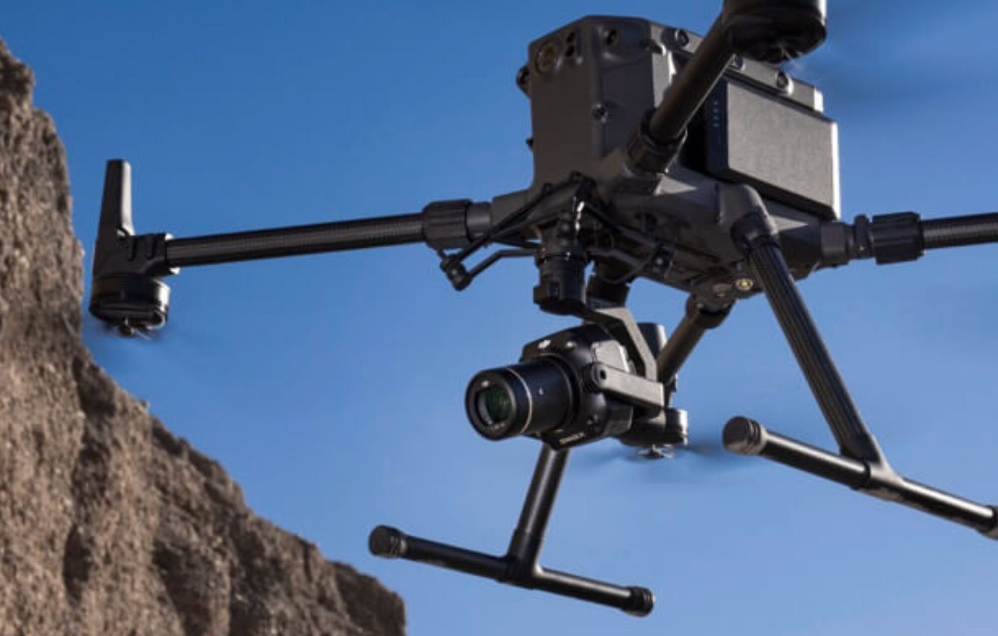
Commercial drone camera systems have evolved from simple cameras into sophisticated, multi-sensor payloads that are transforming imaging and data collection across numerous industries. Modern drone cameras now integrate high-resolution visual sensors, thermal and multispectral imagers, and even LiDAR into a single, compact gimbal. This allows for the simultaneous capture of multiple data types in a single flight, enabling new capabilities in public safety, inspection, agriculture, and filmmaking.
This guide will provide a comprehensive overview of the different types of camera systems, their key features, and how to select the right one to meet your mission needs.
Understanding Drone Camera Systems
Introduction to Drone Cameras
Drone cameras have revolutionized the way industries collect and analyze aerial data, offering a powerful combination of efficiency, accuracy, and versatility. With advancements in technology, today's drone cameras deliver high-resolution images, integrate thermal sensors, and support multispectral imaging, making them indispensable for a wide range of applications. Multispectral imaging enables the calculation of NDVI, a key vegetation index used to measure vegetation health, which is particularly valuable in agriculture and environmental monitoring. From construction sites to agricultural fields and public safety operations, drones equipped with advanced cameras and sensors enable professionals to conduct inspections, monitor environmental conditions, and track progress with unprecedented precision. The ability to efficiently gather detailed data from above not only enhances productivity but also improves the accuracy of surveying, infrastructure inspections, and monitoring. As a result, drone cameras have become essential tools for those seeking to optimize workflows, ensure safety, and make informed decisions across various sectors.
RGB Cameras (Visual Light)
These are standard cameras that capture images in the red, green, and blue light spectrum, just like a traditional camera. Their capability to capture high-quality images makes them the most common type of drone camera, suitable for a wide range of applications including professional cinematography, photography, mapping, and the ability to inspect assets or infrastructure. A camera like the Zenmuse X7 features a Super 35 sensor that can capture 6K RAW video, delivering cinematic image quality from a drone.
Thermal Cameras
Thermal cameras, like the Zenmuse H30T, detect infrared radiation (heat) rather than visible light. Their capability to detect heat signatures in various environments makes them invaluable for specialized tasks.
This allows drones to fly at night, through smoke, or in challenging conditions where a visual camera would be useless, enabling reliable data collection. They are critical for search and rescue missions to locate missing persons, and for industrial inspections to find heat leaks or equipment failures.
Multispectral & Hyperspectral Sensors
Multispectral cameras capture specific wavelength bands of light, including non-visible bands like near-infrared. The capability of multispectral and hyperspectral sensors to capture data across multiple bands enables detailed analysis for a wide range of applications. These cameras are particularly effective in detecting variations in chlorophyll content, which is crucial for assessing plant health. When selecting a multispectral or hyperspectral sensor, important factors include the wavelength range, sensor capability, and integration with other systems to ensure optimal performance. This technology is essential for precision agriculture, allowing farmers and agronomists to analyze crop health, identify nutrient deficiencies, and map plant vigor. Multispectral imaging is also increasingly used in urban planning for infrastructure monitoring and sustainable development. An advanced sensor like the MicaSense Altum-PT combines multispectral, thermal, and panchromatic imaging into a single payload.
LiDAR Systems
LiDAR, or Light Detection and Ranging, uses laser pulses to create highly accurate 3D point clouds of an environment. The capability of LiDAR systems to generate detailed 3D models makes them invaluable for applications such as surveying, mapping, and monitoring. This technology is a game-changer for surveying and mapping, as it can penetrate vegetation to map the ground beneath it, and generate detailed models of structures.
Lightweight LiDAR systems are available for integration with smaller UAVs, making them ideal for tighter airframes and easier deployment. Handheld LiDAR devices also exist, allowing for portable, ground-based scanning in tight or indoor environments with real-time mapping capabilities.
DJI's Zenmuse L2 is a popular LiDAR system that achieves survey-grade accuracy.
Environmental Monitoring
Environmental monitoring has become one of the most impactful uses of drone technology, providing an efficient and accurate way to assess environmental conditions and support conservation efforts. Drones equipped with multispectral imaging sensors can analyze vegetation health, soil quality, and water distribution, offering valuable insights for land management and agriculture. Multispectral imaging also supports precise applications of water, fertilizers, and pesticides, enabling more sustainable farming practices. These capabilities enable professionals to conduct detailed analysis of ecosystems, track changes over time, and respond quickly to environmental challenges. Additionally, drones play a crucial role in monitoring weather conditions, tracking storms, and supporting weather resistance strategies. By leveraging advanced technology and multispectral analysis, drones help mitigate the impact of human activities on the environment and enhance the effectiveness of conservation initiatives, making them an essential tool for monitoring and sustainable management.
Other Specialized Payloads
Drones can carry a wide range of specialized payloads, including:
-
Optical Gas Imaging (OGI) cameras: These are specialized sensors tuned to detect gas leaks (e.g., methane) that are invisible to the naked eye. Some OGI payloads feature a rugged design, making them suitable for use in challenging industrial environments.
-
High-power spotlights: Payloads like the CZI GL60 and JZ T60 searchlights turn a drone into a flying spotlight for night operations in public safety and inspections.
-
Environmental monitoring sensors: Drones can carry sensors to measure air quality (PM2.5), radiation, or deploy probes for water monitoring. Many of these payloads are built with a rugged design to withstand harsh field conditions.
Key Products and Technologies
Modern camera systems are often highly integrated, with multiple sensors in one package. The Zenmuse H30T is the latest example of this trend. It is a flagship payload that combines a thermal camera, a zoom camera, a wide camera, a laser rangefinder, and an NIR auxiliary light. This system demonstrates advanced capability by supporting a wide range of professional applications, from public safety to industrial inspection, serving as a powerful example of modern, integrated drone camera technology.
Here is an overview of other key drone camera systems and accessories:
Zenmuse P1 – 45MP Mapping Camera
The Zenmuse P1 is DJI's flagship photogrammetry camera, featuring a 45 MP full-frame sensor and a mechanical shutter. Its capability to deliver high-quality mapping and modeling makes it ideal for demanding surveying and geospatial applications. It's used to create ultra-detailed orthomosaics and 3D models for surveying and mapping19. The P1 can map up to 3 km² in a single flight and achieve a horizontal accuracy of 3 cm without ground control points (GCPs).
Zenmuse L2 – Aerial LiDAR + RGB
The Zenmuse L2 is a LiDAR payload that combines a laser scanner, a 20 MP RGB camera, and a high-precision IMU. Its capability to generate dense point clouds and support advanced surveying tasks makes it suitable for demanding geospatial applications. It can detect targets up to 250 meters away and generate dense point clouds with a vertical accuracy of 4 cm and horizontal accuracy of 5 cm. It is a powerful tool for surveying, forestry, and powerline inspection.

MicaSense Altum-PT – Multispectral & Thermal
The MicaSense Altum-PT stands out as a state-of-the-art drone payload, expertly combining multispectral and thermal imaging to deliver comprehensive data for environmental monitoring, agriculture, and conservation efforts. Featuring a high-resolution thermal camera alongside a multispectral sensor with multiple bands, the Altum-PT enables the accurate identification of vegetation health, soil moisture, and water distribution across large areas. Multispectral drones empower farmers with actionable insights to optimize crop health and yield potential, making them invaluable for modern agriculture. Its advanced mapping applications allow for the creation of detailed 3D models and orthomosaic maps, supporting precise analysis and decision-making. Designed with a rugged build and weather resistance, the Altum-PT is well suited for deployment in complex environments and challenging field conditions. Its seamless integration with commercial drones ensures flexibility and reliability, making it a top choice for professionals seeking high-performance solutions for mapping, environmental, and agricultural projects.
Image Processing Software
Image processing software is a cornerstone of modern drone operations, transforming raw data into actionable insights for a variety of industries. These powerful tools enable professionals to efficiently verify the accuracy of inspections, review and analyze data, and mitigate potential hazards in real time. By supporting the integration of data from cameras, LiDAR, and thermal sensors, image processing software streamlines the creation of high-accuracy 3D models, orthomosaic maps, and detailed infrastructure inspections. This technology is essential for mapping applications and environmental monitoring, empowering users to respond quickly to changing conditions and make informed decisions. Whether in construction, agriculture, or public safety, the ability to process and analyze data efficiently enhances productivity, improves safety, and ensures the highest standards of accuracy for every project.
Frequently Asked Questions (FAQ)
Can I upgrade my drone with a better camera payload?
Yes, many professional drones, particularly enterprise models like the Matrice series, are designed with modularity in mind. They use a standardized gimbal mount that allows you to swap out camera payloads (e.g., from a thermal camera to a LiDAR unit) to suit different missions.
How do drone LiDAR and photogrammetry cameras differ?
LiDAR systems, like the Zenmuse L2, use laser pulses to create a 3D point cloud and are excellent for mapping terrain beneath dense vegetation. There are also lightweight LiDAR systems available, which are compatible with smaller drones and airframes, making them easier to deploy and ideal for tighter spaces. Photogrammetry cameras, like the Zenmuse P1, capture high-resolution images to create 3D models and orthomosaics. They are often complementary technologies, with each having unique strengths.
What is the price range of enterprise drone cameras?
Enterprise drone cameras vary widely in price based on their technology and capabilities. A high-end thermal camera like the Zenmuse H30T can cost around $10,500, while an advanced LiDAR system like the Zenmuse L2 is a significant investment, around $15,000. Less expensive payloads, like spotlights, can cost under $1,500.
Do I need special software to process multispectral images?
Yes. Multispectral images from sensors like MicaSense Altum-PT need specialized software, such as Pix4Dfields or similar platforms, to process the raw data into stitched maps and vegetation indices like NDVI. These platforms allow you to analyze the data and turn it into actionable insights.
How do drones use thermal and regular cameras at the same time?
Drones achieve this with dual-sensor payloads like the Zenmuse H30T, which have a thermal and a visual camera on the same gimbal. The cameras are aligned, and the drone's software can fuse the two images together to provide a combined view, allowing the operator to see both visual details and thermal data simultaneously.
Conclusion – Navigating the Sky with the Right Eye
The capabilities of modern drones are defined by the sophistication of their camera systems and payloads. From the precision of the Zenmuse P1 and L2 for mapping to the life-saving thermal vision of the XT2 and H30T, choosing the right camera system is the most critical step in unlocking a drone's full potential.
To ensure your operations are effective, it's essential to match the right tool to the job—whether that means using a high-power spotlight for a night mission or a multispectral sensor for crop health analysis.
The team at Global Drone HQ is here to answer any questions you may have about your drone setup. With our knowledge and expertise, we can help guide your business or agency through the process of selecting the right drone camera system and a robust, secure solution that meets your specific mission requirements.
Share:
OGI Cameras (Optical Gas Imaging): The Ultimate Guide to Gas Leak Detection Technology
DJI Mavic 3 Enterprise vs. The Alternatives: An In-Depth Comparison